Panoramas

These panoramic shots were constructed by combining multiple photographs — stitched together using the panoramic stitching software PanaVue ImageAssembler (and also a little bit of tweaking in Photoshop ). PanaVue ImageAssembler is awkward to use, and only supports linear panoramas — but this software offers a level of manual control that still gets me using it when all other options fail.

I've more recently been using Microsoft's Image Composite Editor , which stitches panoramas completely automatically. Just tell it which photos to use, and it does the rest: automatically arranges, warps and blends each photo to fit. Very easy!

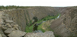
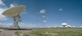
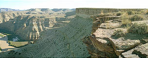
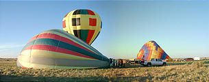
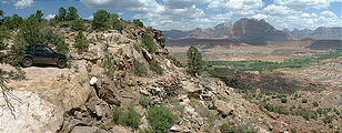
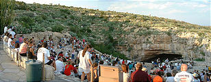
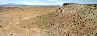
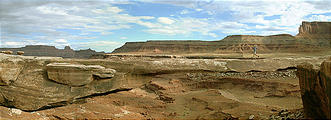
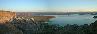
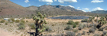
Crooked River Gorge, looking northwest at bend in river (7/10 4:28 PM) radio telescopes (8/03 1:15 PM) construction & repair building (8/03 3:02 PM) Horse Bench - Green River below (7/17 5:26 PM) inflating the balloon with a fan (8/05 5:46 AM) road (with washout) above valley with Grafton site (7/30 12:02 PM) Carlsbad - waiting for Bat Flight in front of the caverns (8/06 5:56 PM) Goblin Valley (panorama) (7/19 8:04 AM) view of Yellow Cat Road looking south from hills (7/21 11:51 AM) Musselman Arch (7/23 4:37 PM) sunset over Lake Powell (7/27 7:19 PM) Joshua trees & water collector (7/30 3:25 PM) Glen Canyon dam & road, as seen from inside the visitor center (7/28 1:45 PM) Moab, as seen from the Slickrock Trail (7/22 9:12 AM) Moki Dugway (7/25 12:39 PM) looking south where ALT 89 winds around the northeast tip of the Grand Canyon (7/31 12:58 PM) Goosenecks of the San Juan River (7/25 12:08 PM) Nutters Hole: a small salt flat in the Green River valley (7/18 9:31 AM) corner of Hill Air Force Range & Jeep on causeway & Floating Island - this straight barbed wire fence extends for 15 miles to the north (7/15 4:00 PM)  (7/26 9:24 AM) panoramic view from near Double Arch and Windows (7/23 12:06 PM) inside miners' cabin (panorama) (7/19 5:10 PM) Coral Pink Sand Dunes (7/29 3:14 PM) Burr Trail (7/26 12:54 PM) Windows Arch (panorama) - from inside (7/21 7:23 PM) Green River valley, and the road down (Can you spot my Jeep in the upper right?) (7/18 9:04 AM) Horse Bench (panorama), looking northeast (7/17 7:13 PM) panoramic view of the Gooseneck of the Colorado River, as seen from Dead Horse Point. The track on the ledge before the river is Potash Road / South Fork Road (7/22 4:18 PM) view from the top (7/30 2:18 PM) campsite at the edge of Link Flats (panorama) looking southeast (7/19 6:39 PM) White Sands (panorama) (8/07 4:32 PM) 220 degree panoramic view from Black Rock Point, looking southwest, south, and east (7/13 9:59 AM) Bryce (panorama) (7/29 11:00 AM)