Oregon
Black Rock Desert
Black Rock Desert
Pyramid Lake
Bonneville Salt Flats
Silver Island Mountains
Nine Mile Canyon
Green River Valley
Goblin Valley & Mines
Pictographs & Sego
Yellow Cat Rd. & Arches
Moab Slickrock
Lion's Back
Southeast Utah
Hall's Crossing
Hole in the Rock
Glen Canyon
Bryce & Coral Pink
Grafton Ghost Town
Arizona
Albuquerque
Ballooning
Roswell & Carlsbad
Carlsbad & White Sands
Mexican Border
Missile & Biosphere
Road to Las Vegas
Death Valley
Trip Route Map
Dashboard Computer & GPS, version 1.0
Panoramas
August 11 - Death Valley
in
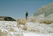
Heading west from Las Vegas to Death Valley, I decided to take the
shortest road I could find on my DeLorme map, in terms of mileage. Of
course, this wasn't the shortest route, in terms of time! And, one of
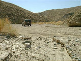
the "roads" on my map turned out to be not much more than a rocky dry
riverbed (Sperry
Wash
).


 35.7500, -116.2050
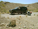
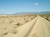
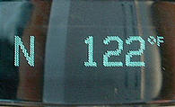
Entering Death Valley National Park from the southern tip, I traveled north for 30 miles on a dirt road before returning to pavement. The temperature climbed another 10° to a high of 122°, which would hold for several hours until sundown.
Later that evening, the spare tire I'd mounted on my car earlier in the day exploded. (It had had a suspicious bulge, so I wasn't too surprised.) Luckily I had purchased a tire patch kit on a whim a few days before, and was able to patch the original flat, swapping tires once again.
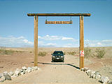
At this point, I realized I was tired and homesick — so after over 4 weeks on the road, I headed straight back to Seattle — staying on the backroads of Nevada and Oregon.

