Oregon
Black Rock Desert
Black Rock Desert
Pyramid Lake
Bonneville Salt Flats
Silver Island Mountains
Nine Mile Canyon
Green River Valley
Goblin Valley & Mines
Pictographs & Sego
Yellow Cat Rd. & Arches
Moab Slickrock
Lion's Back
Southeast Utah
Hall's Crossing
Hole in the Rock
Glen Canyon
Bryce & Coral Pink
Grafton Ghost Town
Arizona
Albuquerque
Ballooning
Roswell & Carlsbad
Carlsbad & White Sands
Mexican Border
Missile & Biosphere
Road to Las Vegas
Death Valley
Trip Route Map
Dashboard Computer & GPS, version 1.0
Panoramas
July 16 - Silver Island Mountains
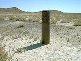
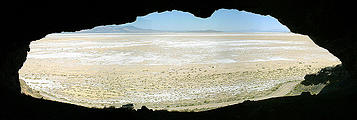
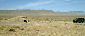
Monday morning was spent following the road through the historic Donner-Reed pass, and around the backside (northwest) of the Silver Island Mountains. There were many "drill holes" marked on my topo maps, which usually looked something like the photo below when I tried to find them. This one says "SILVER ISLAND 150 FT NO WATER 6/29/77". I also ran across a cave up in the hillside (photographed from the inside looking out), and a strange little underground room with a recliner chair inside.
After driving back to Wendover, I tried to investigate Danger Cave
,
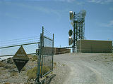
but it was closed off with steel bars. Instead, I drove up the steep
switchbacks to the radio towers at the top of the hill 250m above, and
took photos.


 40.7537, -114.0198
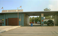
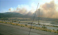
Heading East on Interstate 80 (the only road over the salt flats), I passed through Salt Lake City. There, I stopped in at a car wash to get the corrosive salt off my car. I noticed that the sunlight was unusually reddish, and that the air seemed smoggy. Driving south out of town, I found the reason - extensive brush fires.

