Oregon
Black Rock Desert
Black Rock Desert
Pyramid Lake
Bonneville Salt Flats
Silver Island Mountains
Nine Mile Canyon
Green River Valley
Goblin Valley & Mines
Pictographs & Sego
Yellow Cat Rd. & Arches
Moab Slickrock
Lion's Back
Southeast Utah
Hall's Crossing
Hole in the Rock
Glen Canyon
Bryce & Coral Pink
Grafton Ghost Town
Arizona
Albuquerque
Ballooning
Roswell & Carlsbad
Carlsbad & White Sands
Mexican Border
Missile & Biosphere
Road to Las Vegas
Death Valley
Trip Route Map
Dashboard Computer & GPS, version 1.0
Panoramas
July 21 - Yellow Cat Road & Arches
in
From Utah Route 128 just north of Dewey


 38.8325, -109.2891
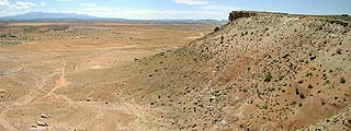
Along Yellow Cat Road, I did encounter many abandoned uranium mines, as well as the remains of the old Moab stagecoach.
Entering Arches National Park the back way (from the northwest), I took the rough sandy road (the toughest track I'd encountered yet on my entire trip!) up to Klondike Bluffs to see Tower Arch and then southeast to Eye of the Whale Arch.
Returning to pavement, I hiked the slickrock trail (marked by cairns) to the Delicate Arch viewpoint, and then headed over to the arches of the Windows Section just before sunset.


