Oregon
Black Rock Desert
Black Rock Desert
Pyramid Lake
Bonneville Salt Flats
Silver Island Mountains
Nine Mile Canyon
Green River Valley
Goblin Valley & Mines
Pictographs & Sego
Yellow Cat Rd. & Arches
Moab Slickrock
Lion's Back
Southeast Utah
Hall's Crossing
Hole in the Rock
Glen Canyon
Bryce & Coral Pink
Grafton Ghost Town
Arizona
Albuquerque
Ballooning
Roswell & Carlsbad
Carlsbad & White Sands
Mexican Border
Missile & Biosphere
Road to Las Vegas
Death Valley
Trip Route Map
Dashboard Computer & GPS, version 1.0
Panoramas
July 27 - Hole in the Rock & Lake Powell
in
Hole in
the Rock
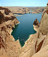
is at the end of a 45 mile road southeast from Escalante,
where Mormon settlers in the late 1800's tried to find a "shortcut"
crossing across the Colorado River. Hole in the Rock is a crack in the
rock cliffs that was widened by the settlers into a steep descending
track that drops 2000 feet in just a half-mile. It's pretty eroded
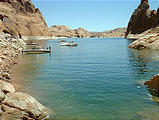
today, but I could walk down to the river (now a dammed lake) where I
found lots of recreational boaters.


 37.2550, -110.8960
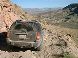
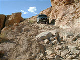
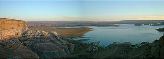
Friday afternoon, I took Collet Canyon road, and then the rough
Rec. Rd. 230 down to the cliffs above Lake Powell, where I camped on
Romana Mesa, with a panoramic view of the water.


 37.0524, -111.3721


