Oregon
Black Rock Desert
Black Rock Desert
Pyramid Lake
Bonneville Salt Flats
Silver Island Mountains
Nine Mile Canyon
Green River Valley
Goblin Valley & Mines
Pictographs & Sego
Yellow Cat Rd. & Arches
Moab Slickrock
Lion's Back
Southeast Utah
Hall's Crossing
Hole in the Rock
Glen Canyon
Bryce & Coral Pink
Grafton Ghost Town
Arizona
Albuquerque
Ballooning
Roswell & Carlsbad
Carlsbad & White Sands
Mexican Border
Missile & Biosphere
Road to Las Vegas
Death Valley
Trip Route Map
Dashboard Computer & GPS, version 1.0
Panoramas
July 12 - Black Rock Desert
Thursday morning, I dealt with the flat tire at the local Les
Schwab
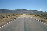
, and then made my way to the Nevada state line (where the
pavement changes in the photo below), and took Nevada 447 southeast to
the little town of Gerlach. After a gas fill-up, I went northeast, up
onto the flat 25+ mile-long mile
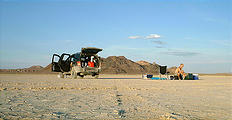
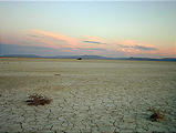
playa of the Black Rock Desert
. Since the vastness of the playa is
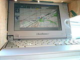
almost completely flat, it's tempting to set the cruise control for
some high speed, and take your hands off the steering wheel (would
I ever do such a thing?!?), and then just "pilot" your car
like a boat, making occasional course changes as you watch your
progress on the GPS computer.


 40.7800, -119.2000
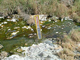
 Nothing grows on the playa itself, but there are many hot springs along the
hills that line the edges of this former lakebed. These hot springs can be
identified at a distance as oases of green on this otherwise beige desert. The
first hot spring I came across was the Trego hot spring,


 40.7706, -119.1178

 40.9700, -119.0100
That night, I camped out on the playa, about a mile west of Black Rock Springs. When the wind is not blowing, the playa is surprisingly quiet — no leaves rustling or animals stirring. At these times, the only sound was my own breathing. Shunning my tent, I slept with my sleeping bag right on the playa, watching the myriad of stars you don't get to see in the city.

