Oregon
Black Rock Desert
Black Rock Desert
Pyramid Lake
Bonneville Salt Flats
Silver Island Mountains
Nine Mile Canyon
Green River Valley
Goblin Valley & Mines
Pictographs & Sego
Yellow Cat Rd. & Arches
Moab Slickrock
Lion's Back
Southeast Utah
Hall's Crossing
Hole in the Rock
Glen Canyon
Bryce & Coral Pink
Grafton Ghost Town
Arizona
Albuquerque
Ballooning
Roswell & Carlsbad
Carlsbad & White Sands
Mexican Border
Missile & Biosphere
Road to Las Vegas
Death Valley
Trip Route Map
Dashboard Computer & GPS, version 1.0
Panoramas
July 30 - Grafton Ghost Town & TV Towers Hill
in
Monday morning, I drove through a small part of Zion National Park
, but didn't stop
long, because of large crowds of tourists and mandatory shuttle busses.
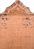
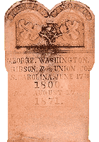
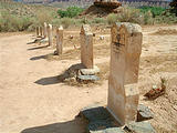
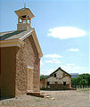
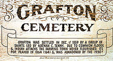
Instead, I went south to the nearby ghost town of Grafton
,
which had an excellent cemetery, and some buildings in decent shape, or
being restored.


 37.1631, -113.0812
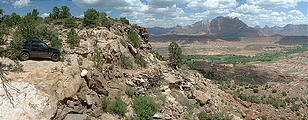
A track led up into the hill south of Grafton for a great view of
the valley below, just before an impassable washout. 

 37.1572, -113.0887
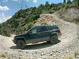
In the far southwest corner of Utah, is a rough steep trail called
"TV Towers Jeep Trail", which as the name implies, climbs (1500 feet in
2.5 miles) to a peak with TV broadcasting towers, and 360° views.


 37.1555, -113.8831
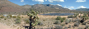
The southwest corner of Utah (by the Nevada state line) also contains a large collection of Joshua trees. A rancher apparently uses this large plastic sheet as a water collector.

