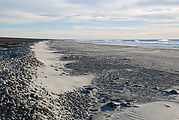
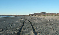
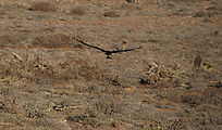
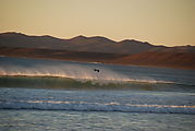
Bahía Santa Rosalillita

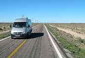
It was time to start heading towards home, so when I reached pavement See in Google Maps  See in Google Earth   27.8543, -113.7709 , I turned right and headed north. I made a quick stop in Guerrero Negro for gas, groceries, and fish tacos. Yum! See in Google Maps  See in Google Earth   27.9677, -114.0340 

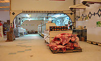
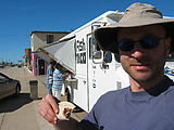
Highway 1 Guerrero Negro - Supermarket - Meat Guerrero Negro - Fish Taco Truck - Geoff

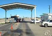
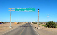
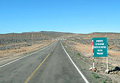
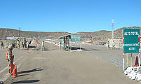
Just north of Guerrero Negro, Highway 1 crosses the 28th parallel, the border between the state of Baja California Sur (South), and Baja California (North). See in Google Maps  See in Google Earth   28.0000, -114.0122  And, of course, soon afterwards was yet another military checkpoint.

Border - Baja California / Baja California Sur Border - Baja California / Baja California Sur Military Checkpoint Military Checkpoint

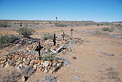
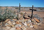
I had time to camp for one more night, so just before Highway 1 leaves the coast and heads inland at Rosarito, I headed west to investigate a Pacific coast beach. I passed these graves at the abandoned site of Altamira. See in Google Maps  See in Google Earth   28.5493, -114.0739 

Altamira - Graves Altamira - Graves

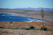
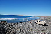
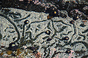
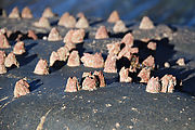
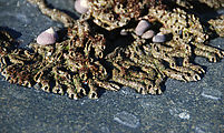
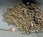
This was a pebbly beach bounded by a set of rocks to the south. I took some time to explore the tidepools here, where I found (along with the usual anemones and snails) huge barnacles, and arrays of curious tubeworms. See in Google Maps  See in Google Earth   28.5371, -114.0903 

South of Punta Rosarito - Beach - Yucca South of Punta Rosarito - Beach - Sportsmobile South of Punta Rosarito - Tidepooling - Snails South of Punta Rosarito - Tidepooling - Anemones South of Punta Rosarito - Tidepooling - Tubeworms South of Punta Rosarito - Tidepooling - Barnacles South of Punta Rosarito - Tidepooling - Tubeworms South of Punta Rosarito - Tidepooling - Barnacles South of Punta Rosarito - Tidepooling - Tubeworms South of Punta Rosarito - Tidepooling - Tubeworms South of Punta Rosarito - Tidepooling - Goose Barnacles

Then I wandered slowly north along the coast, past Punta Rosarito, to camp along the beach of Bahía Santa Rosalillita. See in Google Maps  See in Google Earth   28.6377, -114.1622 

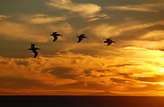
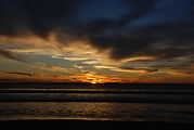
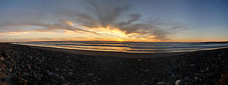
Bahía Santa Rosalillita - Trail North along Beach Bahía Santa Rosalillita - Beach Bahía Santa Rosalillita - Beach Bahía Santa Rosalillita - Bird with Fish Bahía Santa Rosalillita - Beach - Shells Bahía Santa Rosalillita - Beach - Pelican - Sunset Bahía Santa Rosalillita - Beach - Sunset Bahía Santa Rosalillita - Beach - Sunset Bahía Santa Rosalillita - Beach - Sunset

The next morning, a fantastic sunrise!

Bahía Santa Rosalillita - Sunrise - Yuccas

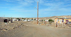
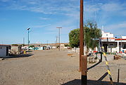
The beachside town of Santa Rosalillita

Santa Rosalillita Santa Rosalillita

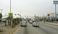
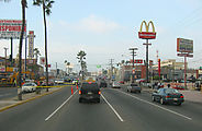
My return trip was uneventful, passing through the farmland and many towns of northwest Baja along Highway 1, including the strip malls and chain stores of southern Ensenada.

Camalú Ybarra Ensenada - Costco Ensenada - McDonalds

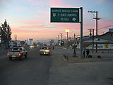
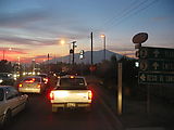
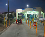
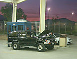
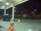
From Ensenada, I took Highway 3 northeast to the less busy (than Tijuana) US border crossing at Tecate, just as the sun set. See in Google Maps  See on a USGS topographic map  See in Google Earth   32.5766, -116.6264 

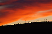
Tecate - Sunset Tecate - Sunset Tecate - USA Border Crossing Tecate - USA Border Crossing Tecate - USA Border Crossing Tecate - USA Border Crossing - Geoff - Passport