Highway 2 & La Rumorosa

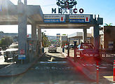
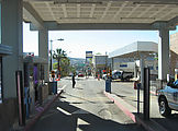
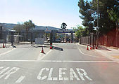
I entered through the Tecate border crossing. Suddenly, I was in Mexico!

Tecate - USA Mexico Border - Entering Mexico Tecate - USA Mexico Border - Entering Mexico Tecate - USA Mexico Border - Entering Mexico

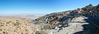
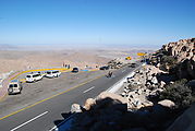
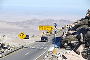
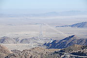
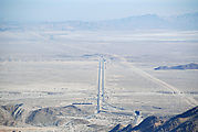
From Tecate, I headed east along the south side of the border, on Highway 2D (a toll road). East of the town of La Rumorosa, this highway winds its way down from the Sierra Juarez mountains into the basin of Laguna Salada, dropping over 3000 ft in 10 miles. See in Google Maps  See on a USGS topographic map  See in Google Earth   32.5704, -116.0259 

La Rumorosa - Sign, "EVITE ACCIDENTES - PRECAUCION RIESGO DE VOLCADURA" - Driving East La Rumorosa - Curvy Switchbacks - Pipeline Construction La Rumorosa - Curvy Switchbacks - Sportsmobile La Rumorosa - Curvy Switchbacks - Sign, "CURVA PELIGROSA A 100 m" La Rumorosa - Curvy Switchbacks

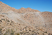
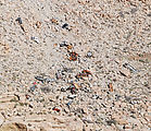
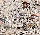
Despite all the warning signs, quite a few road disasters seem to occur, with vehicles flying off the ledge. Those aren't colored rocks on the slope below the road, but wrecked cars left to slowly rust away. I lost count at 25 cars — and this road isn't much more than 10 years old! I also spotted a memorial to José Quintero, who apparently lost his life on the highway — which curiously includes a beer can embedded in cement.

La Rumorosa - Curvy Switchbacks - Wrecked cars fallen from road La Rumorosa - Curvy Switchbacks - Wrecked cars fallen from road (close-up) La Rumorosa - Curvy Switchbacks - Wrecked cars fallen from road (more close-up) La Rumorosa - Curvy Switchbacks - Memorial with Beer Can - "Q.E.P.D. José Luis Parra Quintero 1953-1996"

Looking east towards Laguna Salada...
La Rumorosa - Curvy Switchbacks - Looking East La Rumorosa - Curvy Switchbacks - Looking East