San Felipe & the Road South
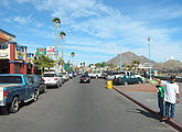
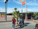
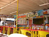
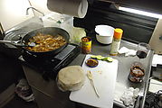
I backtracked to San Felipe for a lunch of fish tacos! That, and gasoline and some fresh shrimp to cook for dinner.
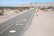
The road south of San Felipe can be driven at high speeds, except for the "vados" (dips) — which are used instead of bridges at (usually dry) waterways. This particular dip was especially nasty:
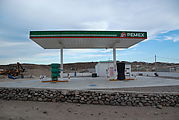
Puertecitos. As usual, the Pemex gas station was closed.
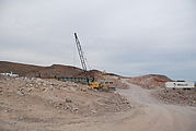
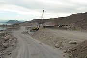
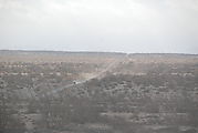
The unpaved road south of Puertecitos is under construction! Crews were busy building a new paved road through the mountainous country, but had only gone a few more miles before I had to return to the old dirt road. 
 30.3040, -114.6510
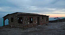
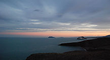
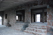
It was getting dark, so I camped for the night at this abandoned house, high above the rocky shore, that seems to be a stopping point for other Baja travelers. 
 30.1468, -114.6404
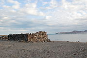
Continuing south... An abandoned building I have in my notes as "El Almacen". 
 30.0499, -114.5834
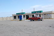
40 miles from pavement was this gas station near Alfonsina's, and one pump was open! 
 29.7923, -114.4141
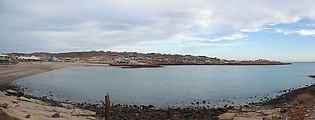
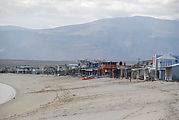
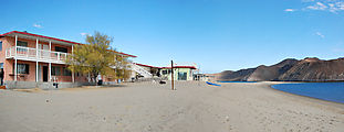
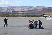
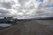
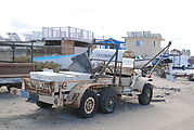
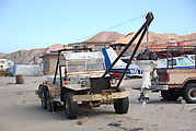
Alfonsina's — a hotel and community of beach houses. Houses had their own airplane, boat, or both. I especially liked an old weathered 6-wheel truck marked "La Cucaracha". 
 29.8074, -114.3958
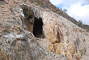
turquoisemine
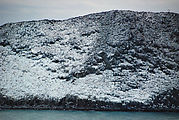
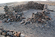
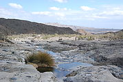
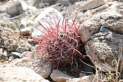
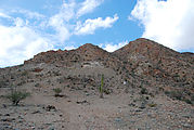
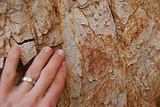
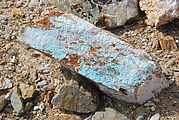
A detour to an old turquoise mine. Hiking around revealed some running water, elephant trees, and some blue-green rocks in the mine area.
 29.5587, -114.4059
