Black Rock Desert Area

I returned to the Black Rock Desert area, hoping to find the playa surface to be dry enough for exploration.

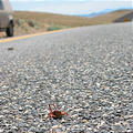
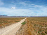
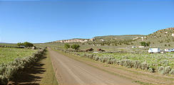
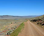
I approached from Lovelock, NV heading north along Seven Troughs Road. Only the first 15 miles is paved, and the rest is well-graded dirt. It's dusty but it's easy to drive fast. I ran into (well, over) many Mormon Crickets which were swarming through the area.

Seven Troughs Road - Mormon Crickets (June 3, 2006 12:31 PM) Seven Troughs Road (June 3, 2006 1:24 PM)

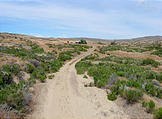
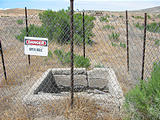
I passed through the sites of old mining towns Rabbithole and Barrell Springs. See in Google Maps  See on a USGS topographic map  See in Google Earth   40.7765, -118.7369 

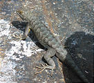
Rabbithole and Barrell Springs (June 3, 2006 2:18 PM) Rabbithole and Barrell Springs - Mine (June 3, 2006 2:21 PM) Rabbithole and Barrell Springs - Ebola Lodge (June 3, 2006 2:24 PM) Rabbithole and Barrell Springs - Mining Equipment (June 3, 2006 2:35 PM) Rabbithole and Barrell Springs - Mining Equipment - Lizard (June 3, 2006 2:36 PM)

Sulphur

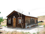
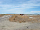
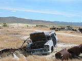
I reached the Black Rock Desert playa at Sulphur. Sulphur looks pretty big on my map, but there's nothing there, but the remains of an old building, some dead machinery, and (of course) a big stinky pile of yellow sulfur ore. See in Google Maps  See on a USGS topographic map  See in Google Earth   40.8727, -118.7369 

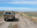
Black Rock Desert - Approaching Sulphur and the Playa - Sportsmobile (June 3, 2006 2:48 PM) Black Rock Desert - Sulphur - Sign and remains of a wooden building (June 3, 2006 2:57 PM) Black Rock Desert - Flat Garter Snake (June 4, 2006 8:52 AM) Black Rock Desert - Sulphur - Dead Cars (June 3, 2006 3:00 PM) Black Rock Desert - Sulphur - Machine (June 3, 2006 3:03 PM) Black Rock Desert - Sulphur - Pile of Sulfur Ore (June 3, 2006 3:02 PM)

Black Rock Desert

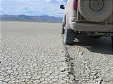
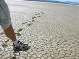
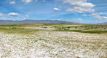
Well, despite my high hopes, the Playa wasn't dry. In fact it was much wetter than just a week ago. The center was a 30 mile stripe of dark impassable mud. There was even some grass up north. I ended up driving a couple of hours around — down south to Gerlach, and then back up the west side of the playa, where I camped for the night before continuing my clockwise circle around to Double Hot Springs.

Black Rock Desert - Playa (June 3, 2006 3:59 PM) Black Rock Desert - Playa (June 3, 2006 4:19 PM) Black Rock Desert - Playa - Muddy Foot (June 3, 2006 4:20 PM)

Double Hot Springs

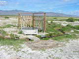
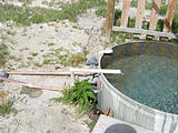
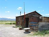
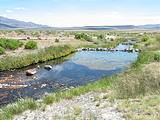
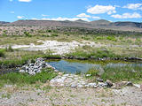
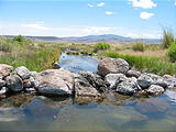
I had visited Double Hot Springs back in the summer of 2001 , but now someone had added a (privacy?) wall, and a second filling pipe to the bathing tub. With all the recent rain, the desert vegetation was fabulously green. See in Google Maps  See on a USGS topographic map  See in Google Earth   41.0508, -119.0275 

Black Rock Desert - Double Hot Springs (June 4, 2006 9:40 AM) Black Rock Desert - Double Hot Springs (June 4, 2006 9:48 AM) Black Rock Desert - Double Hot Springs (June 4, 2006 9:55 AM) Black Rock Desert - Double Hot Springs (June 4, 2006 9:58 AM)

Wheeler Reservoir

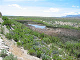
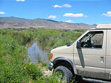
A shortcut crosses the north end of the Black Rock Desert playa at Wheeler Reservoir. The Wheeler Reservoir dam is no longer complete, so it's necessary to ford the water in one section. See in Google Maps  See on a USGS topographic map  See in Google Earth   41.1931, -119.1252 

Black Rock Desert - Wheeler Reservoir (June 4, 2006 12:25 PM) Black Rock Desert - Wheeler Reservoir Dam (June 4, 2006 12:27 PM) Black Rock Desert - Wheeler Reservoir - Fording the marsh (June 4, 2006 12:32 PM)

Soldier Meadows

Continuing north again, I stopped at the Soldier Meadows hot springs, where a scenic spring-fed hot stream has been dammed into a series of bathing pools. See in Google Maps  See on a USGS topographic map  See in Google Earth   41.3604, -119.2244 

Soldier Meadows - Black Rock Desert - Soldier Meadows - Cabin (June 4, 2006 1:16 PM) Soldier Meadows Hot Springs - Black Rock Desert - Soldier Meadows (June 4, 2006 1:33 PM) Soldier Meadows Hot Springs - Black Rock Desert - Soldier Meadows (June 4, 2006 1:42 PM) Soldier Meadows Hot Springs - Black Rock Desert - Soldier Meadows (June 4, 2006 1:47 PM)

High Rock Canyon

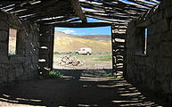
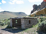
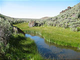
One way out of the Black Rock Desert area to the north, is through the High Rock Canyon, a historic section of the Applegate Trail and taken by other early travelers. It's not an easy route — definitely for high-clearance 4WD. Inside, the lush greenery is a wonderful contrast to the surrounding desert rock. See in Google Maps  See on a USGS topographic map  See in Google Earth   41.3395, -119.3506 

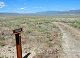
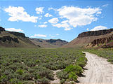
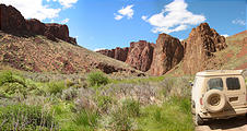
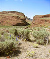
Applegate Trail Sign (June 4, 2006 2:46 PM) High Rock Canyon - Southern Entrance (June 4, 2006 3:08 PM) High Rock Canyon - Sportsmobile (June 4, 2006 3:24 PM) High Rock Canyon - Water (June 4, 2006 3:32 PM) High Rock Canyon - Narrows (June 4, 2006 3:43 PM) High Rock Canyon - Narrows - Sportsmobile (June 4, 2006 3:49 PM) High Rock Canyon - Garage at Yellow Canyon - Sportsmobile (June 4, 2006 4:22 PM) High Rock Canyon - Garage at Yellow Rock Canyon - Garage at Yellow Canyon (June 4, 2006 4:23 PM) Upper High Rock Canyon - Water (June 4, 2006 5:08 PM)

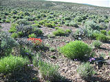
I spent my last night camping at the north end of High Rock Canyon, near Bernards Corral, before passing through Vya (a few buildings), and leaving Nevada on the unpaved Route 34.

Camping near Bernards Corrals - Flowers (June 4, 2006 5:51 PM) Vya (June 5, 2006 8:01 AM) Very Northern Nevada - Route 34 (June 5, 2006 9:03 AM)

I recommend Chuck Dodd's Guide to Getting Around in the Black Rock Desert & High Rock Canyon for information on exploring the area. Here's my GPS track log overlaid on a satellite image from Google Earth:
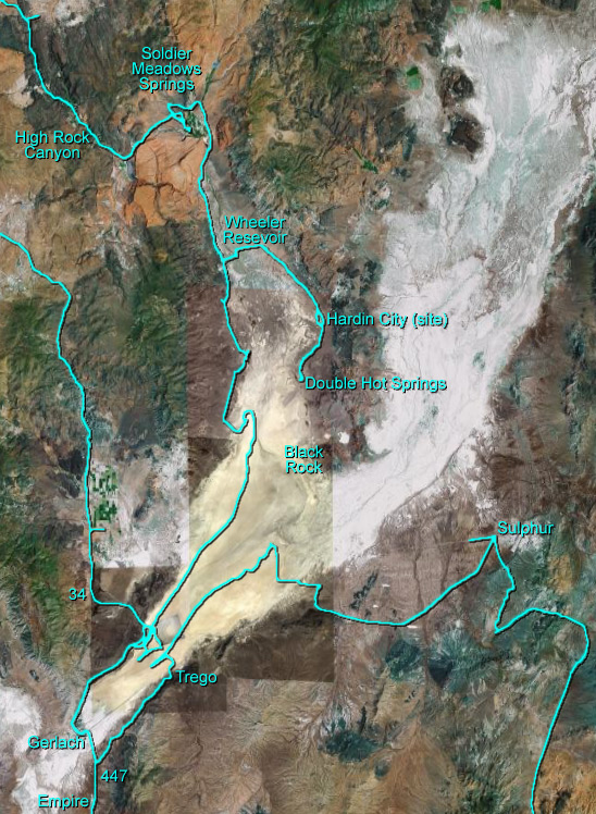
Black Rock Desert and High Rock Canyon (GPS track log overlaid on a satellite image from Google Earth)

Black Rock Desert Trips