South Through Southern California
Death Valley
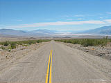
Continuing south, my first stop in California was Death Valley. I visited
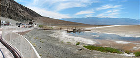
Badwater, 282 feet below sea level, where I was met by crowds of international
tourists emerging from their buses. Tourists were filming everything
(including the text on the signs) with their camcorders. I paid my $20 park fee
at an automated pay station. 

 36.2285, -116.7692
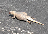
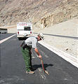
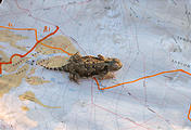
One tourist spotted a sickly looking (but alive) Chuckwalla lizard sprawled out on the hot pavement. A park ranger was alerted, and he used a sign to relocate the unfortunate creature to the shade of a nearby sagebrush.
Mojave National Preserve
My next destination was the Mojave National Preserve. After refueling in
Baker, CA on Interstate 15, I wasted an hour trying to enter Mojave via Zzyzx
Road. (What a name!) But, you can't. Zzyzx is now a California State
Universities Desert Studies Area. After a few more mistakes, including
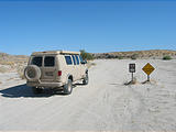
encountering the Baker town landfill, I found an unpaved track south from
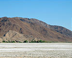
Baker, and camped at the mines just south of Little Cowhole Mountain, on the
east side of the dry Soda Lake. 

 35.1611, -116.0294
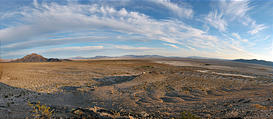
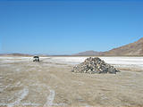
The next morning I drove a few miles west out the only open road crossing
Soda Lake to a huge pile of rocks known as Government Cairn. 

 35.1324, -116.0921
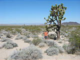
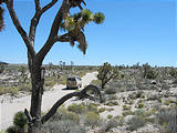
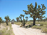
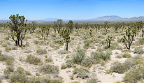
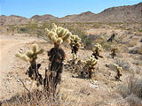
Wandering east from Soda Lake, exploring the Mojave Desert.... The Cima
Dome is a forest of Joshua Trees. Years ago I had marked on my map the
infamous Mojave
Telephone Booth
(now removed), and had to visit the site. 

 35.2858, -115.6844
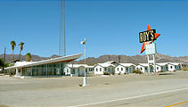
Heading south from Mojave, I crossed the famous former Route 66. The road was crowded with traffic — nostalgic tourists, motorcycles, and pickup trucks pulling recreational boats and ATV trailers. This remote road through the desert was dotted with a few abandoned businesses, like Roys Hotel in Amboy, which withered away after most of the traffic had moved to the parallel Interstate 40.
Joshua Tree National Park
I picked a lesser-used entrance to Joshua Tree National Park, Gold Crown
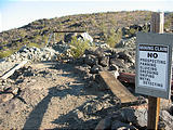
Road, a rugged trail entering from the north. I camped in the Gold Crown Mine
area, just north of the Park, and explored the gold mines — many of which were
still active. 

 33.9954, -115.6981
Orocopia Mountains
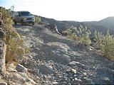
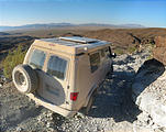
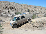
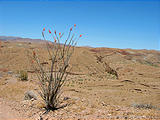
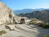
From Joshua Tree to the Salton Sea, I followed a 4WD trail through the
Orocopia Mountains along the Red Canyon, and then west along the Bradshaw
Trail. 

 33.5522, -115.6204
Salton Sea
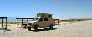
I stopped for a swim in the almost empty Salton Sea State Recreation Area.
The salty water is very shallow, and except for some white sand placed along
the shore, the lake bottom is mud and very sharp volcanic rocks. (Ouch!)


 33.5047, -115.9150
Anza Borrego State Park
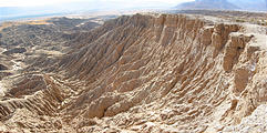
West of the Salton Sea is the Anza Borrego State Park. I explored the
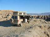
Borrego Badlands, and camped at "Inspiration Point". 

 33.2704, -116.2396

