Mexican Border
I've always had a fascination with borders . Looking at them on the map, I wonder what they look like in real life. Is there a fence? A wall? Does the land really change on the other side of the arbitrary government border line? What's it like peering into "exotic" Mexico from the US side of the border?
I had journeyed as far south in California as I could without leaving the
US, so I turned right and went west on Route 94 along the border. My first stop
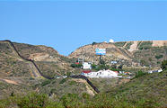
was the little town of Jacumba. In remote areas, the Mexican border is just a
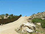
barbed wire fence, or nothing at all, but here in Jacumba it was a wall. I had
a little chat with the Border Patrol agents parked guarding the wall, and
learned that Jacumba is an active border for illegal crossings and drugs from
the Mexican town of Jacume just on the other side of the wall. I also spotted
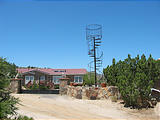
this nifty spiral staircase to nowhere in the yard of one Jacumba resident — a
watchtower I assume. 

 32.6160, -116.1927
San Ysidro Mountains Trail
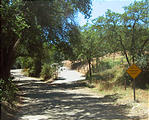
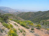
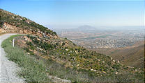
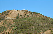
Further west, I took a scenic gravel ridge road over the San Ysidro
Mountains, with excellent views into the US and south over the Mexican border
into Tecate and Tijuana. The start of the road was marked with a "Not a
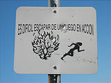
through street" sign — not true. Along the road I also spotted evidence of
past forest fires and an interesting sign proclaiming in Spanish (only) "Es
difícil escapar de un fuego en acción." (It's difficult to
escape from a fire in action.) On the west end of the mountains, before they
drop down to the Otay Mesa and the San Diego suburbs, I took a detour south
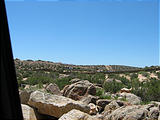
along a trail right up to the Mexican border. There was no fence here, just a
cement border monument. I found some Mexican soda bottles along the way,
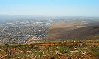
evidence of past border crossings. Standing at the border monument I had a
fantastic view due west to the Pacific Ocean, where I could see the distinct
transition between the busy city of Tijuana on the south side of the border and
the fields on the north. 

 32.5568, -116.8655
San Diego - Border Field State Park
Finally, I descended to Otay Mesa and last Pacific beach in the United States, Border Field State Park. Back in 2002, I had visited the other Mexican border beach, where the Rio Grande (almost) reaches the Gulf of Mexico in Texas. The Texas beach border was nothing but a few sticks and logs. What would this one look like?
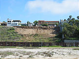
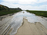
The beach park access road was closed due to some kind of contaminated
sewage flood, so I had to walk a couple miles in, along a horse trail. It was
an interesting experience standing a few feet from the wall (yes, there was a
was a big wall) separating Tijuana and the US. I was within talking distance
with the construction workers building big fancy houses just on the other side
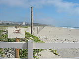
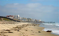
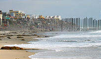
of the wall, with a view of the United States. On the beach itself, the wall
turned into a series of 15 foot poles, extending out into the surf, looking
somewhat like giant prison cell bars, with the Mexican beachgoers on one side
and me on the other. A Border Patrol officer sat in a Jeep nearby on the sand,
watching for any people crossing over, and I could see other Border Patrol
trucks dotting the other nearby hills. 

 32.5351, -117.1234

