Puertecitos to Bahia de los Angeles
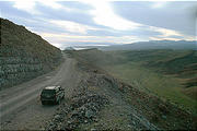
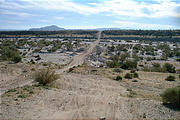
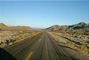
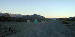
Pavement was definitely behind me as I followed the main road along the coast south of Puertecitos. The desert met the shore here, but was still relatively barren — punctuated by more signs of life only in the river washes I passed through. in the washes were these trees, hosts to some kind of parasitic growths — the bright yellow stringy meshes pictured below.
Las Encantadas
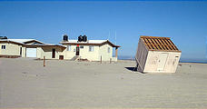
The next place with any kind of population was right before this road veered
away from the coast, inland back towards the paved Route 1. Here, I
investigated the seashore community of Las Encantadas, which seemed to
consist of quite fancy buildings... and this little upturned shack. 
 29.9071, -114.4411
Punta Bufeo
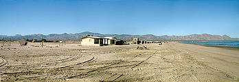
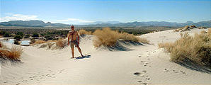
I explored the dunes of Punta Bufeo, just to the southeast, and stopped
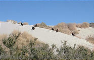
for lunch. This was the first time I'd encountered turkey vultures — which
would later turn out to be quite common. These large black birds with bright
red heads were warming themselves on the hot sand of the dunes. I tried to take
a close-up photograph of a far-off bird by holding a digital camera up to binoculars, and was
surprised that it worked at all! 
 29.8993, -114.4407
Calamajué Road
Continuing inland, I stopped at the next sign of human life, the famous Coco's
Corner, for a refreshment break, and admired the beer can art. Coco's Corner
is situated at the intersection between the 13 mile road that goes southwest
back to the paved Route 1, and a road that goes 20 miles northeast to the
seaside settlement of Calamajué. 
 29.5171, -114.2911
 29.4201, -114.1987
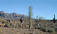
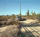
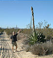
Once south of the Sierra Calamajué, I was greeted by what was almost a forest of lush desert life, including my favorite Baja plant, the boojum, and this 10 foot tall asparagus. The asparagus was actually a Mezcal Agave bud, just about to flower. After flowering, the whole plant dies, as in the last photo below.
Bahía de los Angeles
Returning to the paved Route 1, I headed south to the Bahía de los Angeles
intersection 
 29.0453, -114.1524
 28.8995, -113.5315
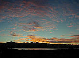
The next morning, I was a little slow to get going — not because of a hangover, but because I was distracted by the sunrise! It took me over an hour to finally leave Bahía de los Angeles. These early-rising turkey vultures warming themselves on a cactus also seemed to be slow to get moving.

