Oregon
Black Rock Desert
Black Rock Desert
Pyramid Lake
Bonneville Salt Flats
Silver Island Mountains
Nine Mile Canyon
Green River Valley
Goblin Valley & Mines
Pictographs & Sego
Yellow Cat Rd. & Arches
Moab Slickrock
Lion's Back
Southeast Utah
Hall's Crossing
Hole in the Rock
Glen Canyon
Bryce & Coral Pink
Grafton Ghost Town
Arizona
Albuquerque
Ballooning
Roswell & Carlsbad
Carlsbad & White Sands
Mexican Border
Missile & Biosphere
Road to Las Vegas
Death Valley
Trip Route Map
Dashboard Computer & GPS, version 1.0
Panoramas
July 24, 25 - Southeast Utah
in
On Tuesday, I left Moab, and drove south to Newspaper Rock (lots of petroglyphs), and then through the Manti-Lasal National Forest — a very different climate than what I'd been experiencing for the past few weeks!
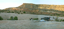
That evening, I camped in Comb Ridge


 37.4280, -109.6216
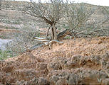
The second photo shows an example of cryptobiotic soil , spongy desert soil which apparently takes many years to regrow if crushed by foot or tire. Therefore, I was very careful to stay on slickrock patches when walking off-road/trail (and to not drive off-trail).
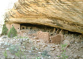
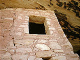
The next morning, I crossed the river and hiked up to the ruins.
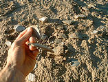
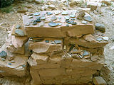
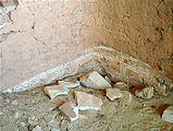
The banks of the river itself were covered with ancient potsherds, that were slowly getting eroded away and washed into the river. It was difficult to walk without stepping on them. A mile west up into the hill were the cliff dwellings. Apparently no attempt has been made yet to restore or excavate these structures, but other visitors have made piles of items they've found — pottery, tools, and mini-corn husks.
Exiting Comb Ridge to the south, I took Utah 163 west to
Valley of the Gods


 37.2583, -109.8671

 37.1743, -109.9273
Heading west, I soon reached the Moki Dugway, where the paved road
turns to gravel and climbs 1000 ft up the hillside


 37.2765, -109.9384


