Oregon
Black Rock Desert
Black Rock Desert
Pyramid Lake
Bonneville Salt Flats
Silver Island Mountains
Nine Mile Canyon
Green River Valley
Goblin Valley & Mines
Pictographs & Sego
Yellow Cat Rd. & Arches
Moab Slickrock
Lion's Back
Southeast Utah
Hall's Crossing
Hole in the Rock
Glen Canyon
Bryce & Coral Pink
Grafton Ghost Town
Arizona
Albuquerque
Ballooning
Roswell & Carlsbad
Carlsbad & White Sands
Mexican Border
Missile & Biosphere
Road to Las Vegas
Death Valley
Trip Route Map
Dashboard Computer & GPS, version 1.0
Panoramas
July 20 - Pictographs & Sego Ghost Town
in
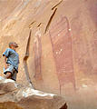
These are the San Rafael Swell
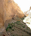
pictographs, located in a canyon just a mile north of Interstate 70 (a
marked dirt track with no true exit ramp; 2 miles west of exit 147). At
some point, someone had outlined some of the pictographs in chalk.


 38.9436, -110.4245
Friday afternoon, I visited the ghost town of Sego
, and then
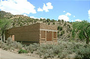
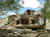
explored the road up into the hills to the north. These two buildings
(the store and boarding house) are the majority of what is now left of
Sego.


 39.0337, -109.7029
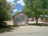
On the way to Sego, I passed through the tiny town of Thompsons Springs, which had a correspondingly tiny (pink) post office.

