Oregon
Black Rock Desert
Black Rock Desert
Pyramid Lake
Bonneville Salt Flats
Silver Island Mountains
Nine Mile Canyon
Green River Valley
Goblin Valley & Mines
Pictographs & Sego
Yellow Cat Rd. & Arches
Moab Slickrock
Lion's Back
Southeast Utah
Hall's Crossing
Hole in the Rock
Glen Canyon
Bryce & Coral Pink
Grafton Ghost Town
Arizona
Albuquerque
Ballooning
Roswell & Carlsbad
Carlsbad & White Sands
Mexican Border
Missile & Biosphere
Road to Las Vegas
Death Valley
Trip Route Map
Dashboard Computer & GPS, version 1.0
Panoramas
July 13 - Black Rock Desert
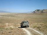
Friday morning, I drove up the steep trail behind Black Rock Point, and then hiked to the peak, 300m above the playa surface, from which I took this panoramic shot. on the left, you can see the green patch which is Black Rock Springs, and on the far right, you can see the black dot which is my Jeep parked on the ridge below.
Afterwards, I drove on another Jeep trail


 41.0072, -118.9602

 41.0192, -118.9986
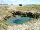
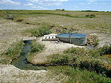
Back on the playa, I headed north to Double Hot Springs, where
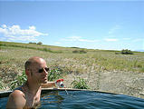
there was a tub! This tub allowed the water to cool just enough to
bathe in. A little sign next to a homemade ladle said, "please wash
feet."


 41.0510, -119.0276
My playa map showed that the ghost town of Hardin
City
lay just ahead to the north, but I had been warned that there
wasn't much there. Sure enough, I learned a lesson that would hold
true throughout the rest of my trip - any place named Something
City was lucky to be more than just one or two buildings.
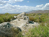
All that was left of Hardin City were the foundations of a two stone
buildings.


 41.1163, -119.0018
I decided to try to cross Black Rock Range where my map showed a
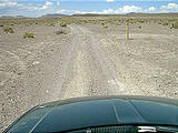
road (that proved to be an extremely rough track) to the northeast, up
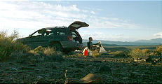
over the hills. I camped at the far east end of the road, just before
descending into the east branch of the "Y" at the top of the Black Rock
Desert playa.


 41.1081, -118.9613


