Oregon
Black Rock Desert
Black Rock Desert
Pyramid Lake
Bonneville Salt Flats
Silver Island Mountains
Nine Mile Canyon
Green River Valley
Goblin Valley & Mines
Pictographs & Sego
Yellow Cat Rd. & Arches
Moab Slickrock
Lion's Back
Southeast Utah
Hall's Crossing
Hole in the Rock
Glen Canyon
Bryce & Coral Pink
Grafton Ghost Town
Arizona
Albuquerque
Ballooning
Roswell & Carlsbad
Carlsbad & White Sands
Mexican Border
Missile & Biosphere
Road to Las Vegas
Death Valley
Trip Route Map
Dashboard Computer & GPS, version 1.0
Panoramas
July 23 - Lion's Back & South Fork Road
in
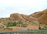
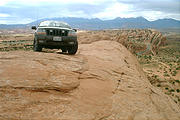
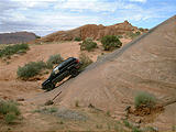
While in Moab, I had to try driving up the famous Lion's Back — a
sandstone ridge on private property that everyone wants to attempt.
(The owner claims he doesn't recommend doing the climb, but still has a
"slip $5 under the door" sign.) First you climb several hundred feet on
a 25° — 45° slope, and then do a 9-point turn-around at the top
of the rock before slowly descending the way you went up. My photos
don't do its size justice - but I like this shot
on
someone else's web site.


 38.5782, -109.5276
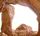
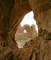
I spent rest of the morning clambering around on the rocks again, back at Arches National Park.
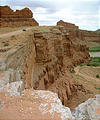
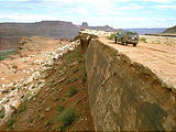
In the afternoon, I drove Potash Road, South Fork Road, and the White Rim Trail along the Colorado River (and far below Dead Horse Point, where I just was the day before).
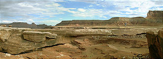
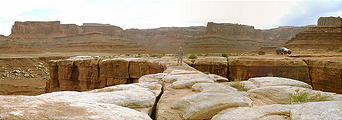
On White Rim Trail, I soon came across the amazing Musselman Arch,
a stone bridge 6 feet thick... and 300 feet down!


 38.4358, -109.7690

