Capitol Reef National Park
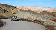
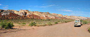
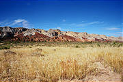
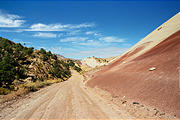
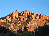
The next morning we entered the back way into Capitol Reef National Park, heading northwest on the unpaved Norton-Bullfrog Road. We were especially interested in checking out Capitol Reef because much of the park is only accessible by dirt roads, or by foot. The park protects some amazing country along a 100 mile north-south fault line, the Waterpocket Fold. The only paved roads in Capitol Reef are: a short section of Highway 24 which cuts east-west through the park, and a 10 mile smaller paved road to Capitol Gorge. We had known very little about this park before entering, and were amazed by its natural beauty.
Strike Valley Overlook
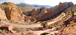
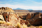
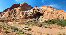
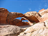
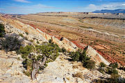
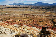
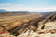
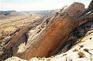
We decided to take a small detour out of the valley — driving up the Burr Trail Switchbacks, and then 3 bumpy miles along a rocky dry streambed (past some fun double arches), to Strike Valley Overlook, where we took a short hike to a view of the Waterpocket Fold below.
Wow, what a terrific introduction to the park! Seeing it from above, we then understood why park was created. We peered over the landscape we'd be driving on later. It was amazingly stunning, with all the colors and textures, looking down at the Waterpocket Fold, which looked as if a plate had just jutted out of the earth at a 45 degree angle, exposing all of its underlayers. And this went on for miles and miles — as far as we could see. We could have spent hours there, but then hunger got the better of us!
We trudged back to the van and made ourselves a luxurious lunch. It's just wonderful having access to whatever we need in the van. The fridge houses fresh veggies, the pantry carries a variety of canned and dried goods, and we have a huge rack of condiments and spices. And then there's the stove to heat whatever we need. Besides that, we can do this while standing at full height in the van or open up the outside shelf and cook outside. Sportsmobiles rock!
Apple Orchard
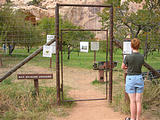
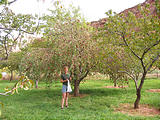
After lunch we continued north to Highway 24 and then west down into a canyon to Fruita where we came across apple trees planted beside the cliffs. It was an old historic apple orchard, which still had fruit available for us to pick. We wandered around tried different apples using the ladders that were provided. A fun experience!
The Old Highway
We took a walk through the Capitol Gorge, which was once the main car highway through Capitol Reef.
Pleasant Creek Road
Most tourists turn around at the Capitol Gorge at the southern end of the paved Scenic Drive, but we continued south on the dirt track called Pleasant Creek Road.
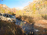
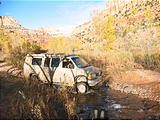
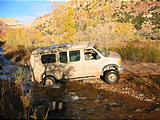
Initially we did pass a fair number of tourists, but this quickly changed when the road forded a stream — which was fun for us to cross! Then our drive became a fairly challenging, but we enjoyed every bit of it. Pleasant Creek Road sent us zigzagging around and through dry river washes, and squeezed us through tall sagebrush which scraped off the last of our mud.
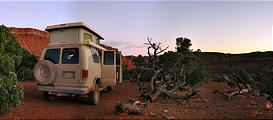
We knew that we couldn't legally camp inside the park without a permit so we were making our way south to the park border. With the unexpected challenge of the drive, it took us considerably longer to get out than we thought it would. At one point we did pass another car, a local guy sporting a fedora who was driving a Jeep Grand Cherokee with three friends. He was excited to see us out there and told us of a good camping spot up ahead. His passengers were holding cocktail glasses and a small lap poodle, looking like they were just out for a pleasant evening drive! This portion of the road was probably most challenging — a steep narrow climb on which we had to weave around road boulders while staying away from the cliff edge.
We soon found the spot just outside of the park and looked forward to a restful night sleep after a long day.
Tantalus Flats
The next morning we continued to find the road was just as bumpy, but now no where near as much fun. For several miles, we drove on a surface that looked almost as if someone had purposefully strewn a bunch of rocks to keep people going slow. Creeping along at 4-low, we slowly made our way out of there.


