Ensenada el Muerto & La Trinidad Pictographs
Santa Rosalia Area
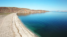
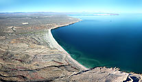
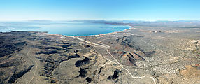
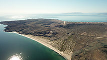
Ensenada el Muerto
Camping on Ensenada el Muerto beach on the north shore of the Punta Chivato. 
 27.0954, -111.9859
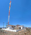
Caguama Microwave Towers
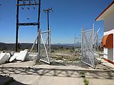
I had tried in the past to drive up to these communication towers, but I had been blocked by a locked gate. This time the gate was open! At the top, I found that the tower site has been abandoned and much of the equipment looted.
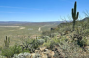
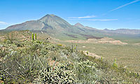
In any case, it's a great spot to view the Las Tres Virgenes volcanos. 
 27.4053, -112.5482
La Trinidad Pictographs
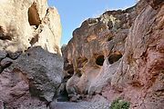
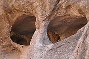
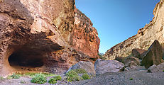
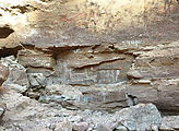
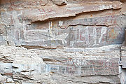
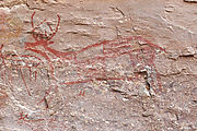
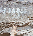
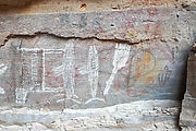
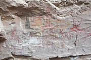
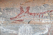
I hiked into a canyon with flowing water and nostril-like caves to locate this set of pictographs. There's a lot going on here! Animals, hunting scenes, and several sets of child-sized white handprints.

