Cucapá Fumarole
Cucapá Fumarole
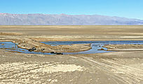
I cut east across Laguna Salada to Sierra de los Cucapá, where there was supposed to be a thermal steam vent
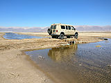
(fumarole). Even when the lakebed is dry, there is still a bit of water to cross. Here is the muddy-bottom canal, which
can only be easily crossed in a few places. 

 32.2968, -115.5835
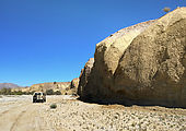
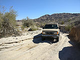
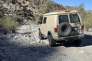
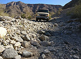
Entering David Canyon, and driving up the wash
At 

 32.3189, -115.4133
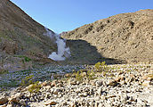
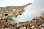
The fumarole is loud. I carefully leaned over to peer down into the sulfur-smelling rising steam and boiling muddy
water below. The surrounding ground is too hot to allow normal plants to grow, but there is a strange green substance
(algae?) living among the rocks. 

 32.3269, -115.4170
Here's a little video I made: https://youtu.be/fl8rgEin-bY
More Info
Though I got to the fumarole from the west (Laguna Salada), it looks like it's possible to access it from the east
(Highway 5) - a trip of only 7 miles - starting at 

 32.2919, -115.3238
According to this paper , the fumarole was created by (and appeared soon after) the April 4, 2010 magnitude-7.2 "El Mayor-Cucapah" earthquake .

