Cantu Palms
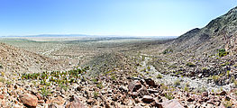
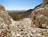
These palms are in a little canyon on the west side of Laguna Salada 

 32.3517, -115.8275
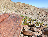
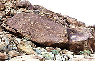
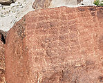
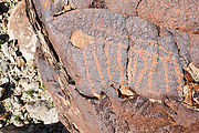
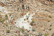
I had already explored this canyon in the past, but at the time I had somehow missed that there were petroglyphs in the area. (I only read about them later when I got back home.) This time I did find the petroglyphs, which are scratched into the rocks on the ridge separating the north grove of palms from the two groves to the south.
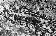
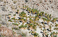
I had a little fun trying to retake some old photographs of this area. First, here's my retake of a 1946 photo from Desert Magazine where the north grove of palms is described as growing in a "perfect circle":
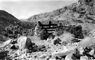
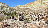
And here, I retook a 1991 photo by Bill Gunther in California Garden magazine of the miner's cabin just east of those palms. Back then the cabin still had some of its palm log roof intact:
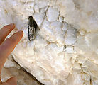
I checked out La Rosa Mine, a short hike up the canyon from these palms:


