San Isidoro & Petroglyph Park Loop
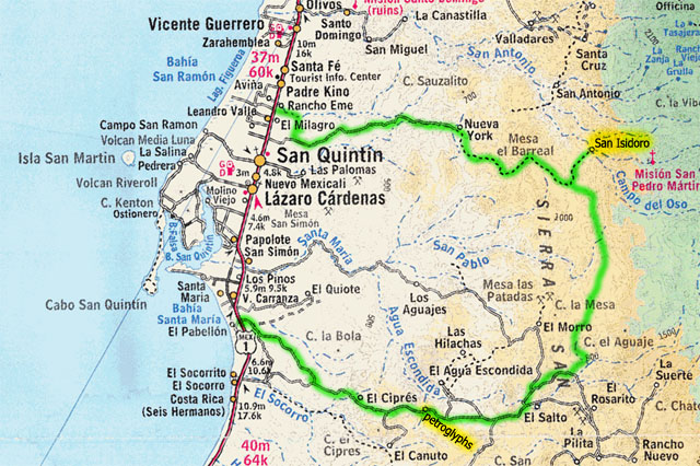
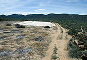
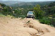
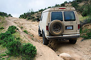
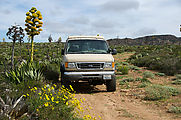
I decided to try driving a backroad loop described on the Baja Nomad forum which visits the ruins of the San Isidoro visita as well as a petroglyph site. This would turn out to be a 100 mile journey on rough eroded dirt tracks. I found myself celebrating whenever I managed to exceed 10 MPH, which wasn't often. My stats show I averaged 9 MPH. Makes me a bit envious of motorbike riders.
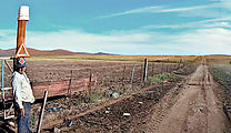
First of all, I started my journey with a little confusion. The thing is, I love my geeky toys — dashboard computer and GPS — and so I let myself be lulled into the rookie mistake of letting Google Maps plot my route. This meant rather than starting from Highway 1 at the village of San Isidro, I was a few miles north at La Esperanza, where I found myself wandering around some farmer's fields trying to find some long-gone road. Now if I were in the USA, someone would have come out and yelled at me for intruding on his private property. But I was in Mexico, were everyone I've ever met is super nice. A farmer saw me driving back and forth next to his fields and drove out blinking his headlights to see what was up with me. He was very nice. When I explained my quest in my poor Spanish, he shrugged amiably, indicating he don't know exactly what I was looking for, but sure — go for it! And he opened up the gate to his fields for me.
After wandering about for a little while longer, I eventually found my way south to the
correct road. Well, at least here I saw multiple tire tracks, so I was confident it must be a real
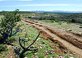
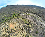
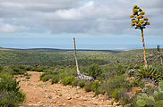
thoroughfare! It was slow going, with some parts eroded so badly as to require 4x4.
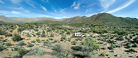
About 10 miles in, I stopped to camp for the night. 
 30.6719, -115.8081
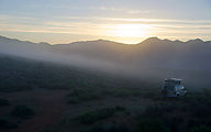
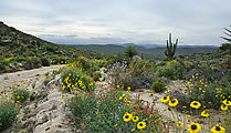
The next morning was beautiful, with low clouds I had never seen before in Baja. These were hypnotic to watch, as they rolled over the hills down past my campsite. Apparently morning fog and low clouds are common in this region, brought by moisture blowing in from the Pacific.
On the move again, I bumped along, passing the grazing grasslands called Nueva York, and then worked my way up a steep incline to the top of Mesa el Barreal.
Visita San Isidoro
Finally, I reached the turnoff to the 3-mile spur road north to the San
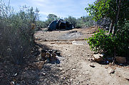
Isidoro site. I was surprised to see that this road seemed heavily used. There
was some kind of hovel made of sticks and tarps just off the road, showing
signs of recent use. 
 30.7259, -115.5350
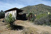
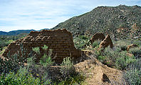
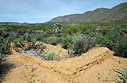
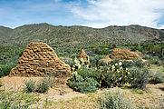
The road ended at the river, where there was an encampment. I hiked across the
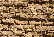
river (El Horno) to explore the San Isidoro site and its melting adobe walls.

 30.7641, -115.5469
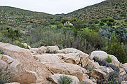
Back out of the San Isidoro spur, I continued on my clockwise my loop, following this "road" south through Sierra San Miguel. Through all the roads in this region, I encountered not a single other vehicle. I did meet a few friendly cowboys on horseback, though!
Petroglyph Park
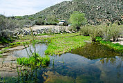
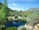
Just before sundown, I reached the petroglyph site, and camped for the night on a lush grassy clearing by a stream. In the morning, mockingbirds entertained me with an endless repertoire of birdcalls. The skies were overcast, and I felt the slightest drizzle coming down. This weather seemed very un-Baja!
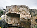
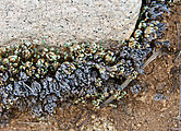
Across the stream, are some rocks with petroglyphs. There is one large panel and a
few smaller ones to find. 
 30.4032, -115.5563
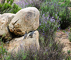
I also generally enjoyed poking around the stream and exploring the alien (to me!) plants in the cool air.
The next morning, I completed the loop, heading west back to Highway 1.
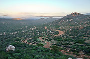
Rolling hills covered in flowering agaves, led down to the west coast.
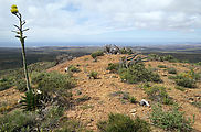
I made a small detour to try a road (4x4 needed) I spotted climbing a little
hill, which turned out to be a former communications tower site with an
excellent view of Bahía Santa María and the west coast. 
 30.3633, -115.7279
Nearby I spotted something up there on the hill. A shrine perhaps? No, someone was apparently living up there. A tortilla was still sitting out there on a camping stove! I would have liked to explore a cave I noticed just below the top of the hill, but as I approached I saw a bunch of stuff inside. I didn't want to bother whoever might be living inside.
Dunes and Beach
My loop ended at the beachside community of Nueva Odisea on Highway 1. By now I was ready
for a swim in the ocean! Unfortunately, after driving around town for a while,
I still couldn't figure out how to get to the beach without going through areas signed as
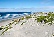
private property, so I headed out of town and explored the dunes of El
Pabellón. Many vehicle tracks head from the highway out to these dunes, but end just
before the beach, which can be up to 70 ft below the dunes. 
 30.3494, -115.8393
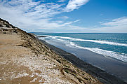
Here is where I ended up swimming, after a nice steep climb down the crumbly hill. 
 30.3268, -115.8287

