Laguna Hanson
Entering Mexico
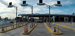
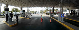
I entered Mexico at the smaller of the two Calexico/Mexicali border crossings ("Calexico East" / "Mexicali II"). There was a brief inspection of my vehicle, and I picked up my FMM ("tourist visa") papers here. There is a convenient bank on site at which to pay the fee, in pesos or dollars. There is no ATM here. The official at the immigration office insisted that I must return my FMM papers when I exit the country. I have never bothered doing this before.
There was little southbound traffic at the border. Overall, crossing into Mexico was a quiet, low-key affair. 

 32.6700, -115.3884
Laguna Hanson
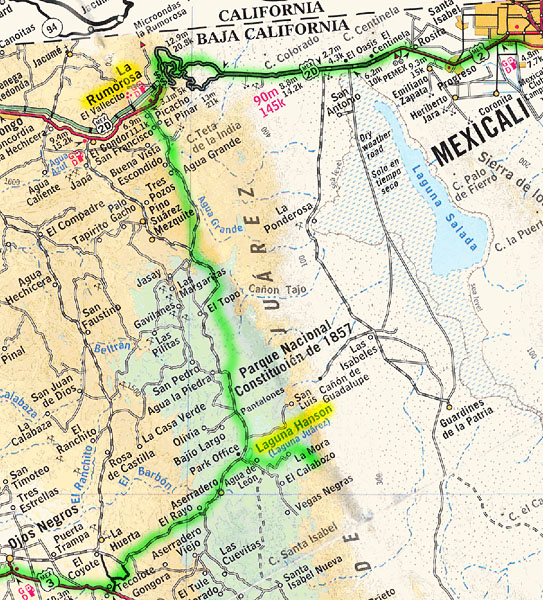
My first destination was Laguna Hanson (aka Laguna Juárez), a lake in the forested high country of northern Baja California. Total unpaved distance for this journey (including side trips): 85 miles
After stocking up on groceries and pesos in Mexicali, I drove west on Highway 2 — with its dramatic switchbacks as the road climbs up into the Sierra de Juárez mountains at La Rumorosa. 

 32.5790, -116.0120
At La Rumorosa, I left the highway (and pavement altogether) to drive south towards Laguna Hanson. 

 32.5078, -116.0637
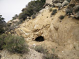
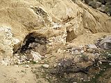
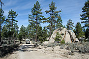
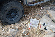
It was time for a lunch break, so I found this shaded clearing near a cave I
had seen on the internet
.
There didn't turn out to be much to see at this tiny cave, but it was a fun
diversion to clamber around looking for it. I saw black evidence of smoke on
the ceiling indicating human use at some point, and the surrounding area seemed
to have been recently excavated. 

 32.4608, -116.0321
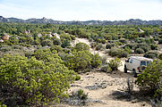
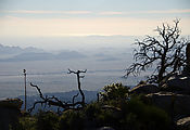
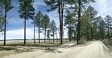
The road south to Laguna Hanson was scenic — a peaceful and easy drive. I enjoyed watching the landscape slowly change as I climbed my way up to Laguna Hanson, from desert to low bushes, and finally into forests of tall pine trees. Laguna Hanson is at an elevation of about 5000ft.
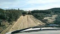
At one point the road became delightfully smooth and pillow soft. Soon I arrived behind the grader that had just been resurfacing my lovely road! Passing the grader was tricky as the driver couldn't easily see or hear me.
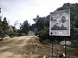
The only minor irritation that intruded on the natural beauty of the area was all the signs! These signs were everywhere — I must have counted at least five per mile. Signs implored visitors to respect this natural area, not damaging it in various ways including: fire, litter, and graffiti. Unfortunately, there was definitely evidence that all these activities have been taking place, hence the signs.
Entering the park (Parque Nacional Constitución), I found I had the whole place to myself. No one was manning the entry booths, and other than the grader and a few pickup trucks that passed on the road, I encountered no people, tourists or otherwise.
Laguna Salada Viewpoint
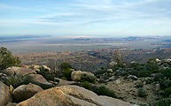
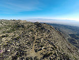
After reaching Laguna Hanson, I turned left to drive out to a viewpoint I had
earlier scouted as a possible campsite. This track went east to escarpments at the very edge
of the Juárez mountains, where the land drops 4000 ft in four miles down to extensive mud
flats that extend out to sea. Here I could look out over Laguna Salada, and even
get a glimpse of the Gulf of California way off in the distance.


 32.0457, -115.7950
And then I suffered my first (and only) flat tire of the trip - punctured by a cactus spine! Easy to fix.
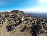
The next morning I found an even better view campsite next door: 

 32.0396, -115.7962
Laguna Hanson
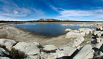
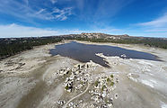
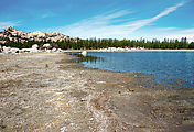
I then went back check out the lake itself. Laguna Hanson covers only a small fraction of the basin, much of which contains minimal plantlife and therefore (I assume) must at times be underwater. But these surroundings were dry long enough to sprout some roads. I have read that the lake sometimes completely dries out.
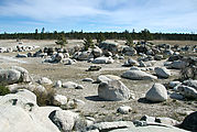
It's a surreal landscape, peppered with giant boulders left naked out on the plain, along with the occasional pine tree. 

 32.0453, -115.9035
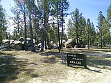
This is the official camping area, at the north end of the lake. The lake is shallow, and with the retreating water levels the exposed shore is unappealing squishy mud.
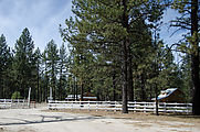
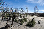
Exiting the lake area, I passed a few very nice looking wood buildings just south of the lake. Soon after, I passed through an area burned by forest fire.

