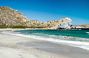
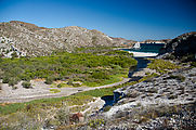
Beaches: Santo Domingo, Punta Chivato, San B
Playa Pacheco & Santo Domingo
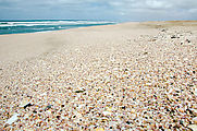
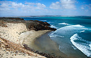
Next stop was the "pink sand" beach of Playa Pacheco, which is made up of fragments of lavender and yellow shells, giving it
a gray-pink (peach, perhaps?) color. This continues steadily to the north for about 15 miles. 
 28.2786, -114.1121
To the south are cliffside roads along Morro Santo Domingo. 
 28.2654, -114.1167
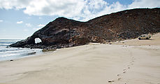
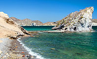
There is an arch here at the rocky point. I didn't stay long to explore, as
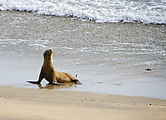
I encountered a colony of sleeping sea lions and I didn't want to disturb them.

 28.2434, -114.1128
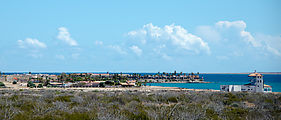
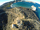
A lighthouse stands at Punta Morro Santo Domingo. Most plants here are covered with green lichen. 
 28.2403, -114.1031
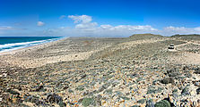
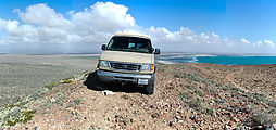
Cerro La Bulonera is a nearby hill with a steep vehicle track leading to the
top, with a fantastic 360-degree view of the area. Fantastic gale-force winds, too!

 28.2535, -114.1045
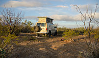
After stocking up on supplies in Guerrero Negro, I continued southward on Highway 1, camping just off the road in the middle of nowhere. I enjoyed checking
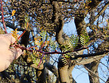
out the desert trees with their fat trunks and tiny leaves. 
 27.3486, -112.6758
San Marcos and Punta Chivato
Moving on, I next investigated the Punta Chivato peninsula south of Santa Rosalía.
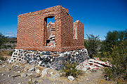
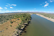
At San Marcos, there are ruins of an old sugar mill next to the estuary, Estero San Marcos. 
 27.1137, -112.0705
These seeds with claws (Proboscidea althaeifolia "devils claw") grabbed my ankles and held on to hitchhike with me as I walked.
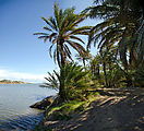
This palm grove is a perfect shady hideout by the water. 
 27.1173, -112.0654
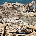
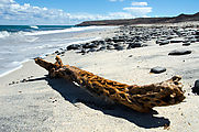
A collection of driftwood (including cactus wood) at the mouth of the estuary 
 27.1222, -112.0554
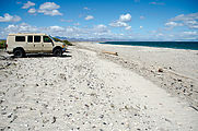
East of the estuary are a few miles of nice empty white sand beaches. 
 27.1201, -112.0311
And farther east is Ensenada el Muerto 
 27.0959, -111.9919
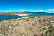
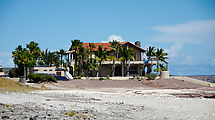
Finally I came to Punta Chivato, which is crowded with fancy houses. And an airstrip. I quickly moved on. 
 27.0804, -111.9779
San B
I next went to explore an area I'm going to refer to here only as "San B" because the people who camp there indicated that they don't want the word to get out about this place.
You most likely have realized by now that I don't like to camp in places where other people camp, and therefore this place would not be my scene. But I wanted to check it out. And yes, it was beautiful.
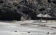
I encountered several campers on the main beach, some of whom told me they stay for months camping in this spot.
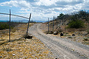
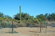
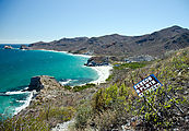
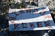
There are also a smattering of houses, many roads to bulldozed sites of future houses, and fences with private property signs. Some of the fences seem to have been cut open at some point, and I found signs lying face down in the dirt. Torn down, perhaps?
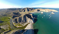
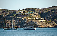
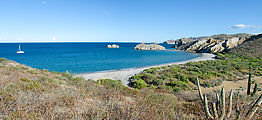
The bay appears to be a popular mooring spot for sailboats.
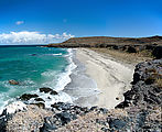
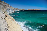
A smaller windy beach is just to the north, and there are also more beaches to the south — but vehicle access may be blocked.
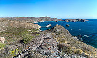
A hilltop trail provides stunning views along the beaches to the south.
There is a hike in this area, going inland about a mile up into what is known as "Surprise Canyon". I am not going to give away the surprise here, but contact me if you want directions. Let me warn you though, it's a real scratchy bushwhack working your way through the riverbed's brush — so wear long pants!


