Driving North
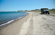
Playa Luigi
I arrived back at Highway 1, and it was time to start working my way north
again. Before reaching Loreto, I stopped for a swim break at Playa Luigi. 
 25.7509, -111.2794
Road to San Javier
At Loreto, I took a detour inland along the road to San Javier to try to track
down the "Painted Cave of Loreto" I had read about in one of my old Baja books.
I pulled off the San Javier road just at the point where the pavement ends, and
started walking west along the river wash, and scouted around with my
binoculars. I never did find much in the way of cave paintings here, but I did
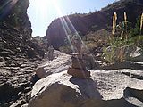
get excited when I noticed some cairns. I started following them, and they led
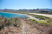
me on a trail following what seemed to be the old San Javier road. After about
a mile, the cairns lead me into a pretty little oasis of water and palm trees.

 25.9713, -111.4793
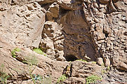
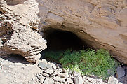
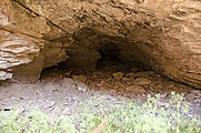
I did spot a cave — a tiny one! I climbed the rock face and went inside. There was black smoke residue on the ceiling, and I spotted faintest traces of red painting on the rock outside. This little cave discovery of mine couldn't be the one from my book, but I still enjoyed my little adventure.
Driving North, Highway 1
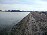
I camped for the night at the southeast end of Bahía Concepcíon, the only spot
I know on the bay that isn't crowded with campers. It's totally empty here,
but is breezy in the evening. 
 26.5667, -111.6932
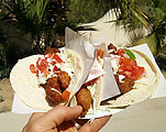
Passing Guerrero Negro, I ventured back into civilization to recharge with some fish tacos from roadside food truck. Yum!
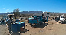
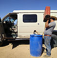
I regretted not filling up with gasoline while passing through Guerrero
Negro. I ended up having to buy fuel from a guy selling it from barrels at
Lonchería Mary in Punta Prieta. I calculated that it cost me about USD $1/gallon
extra, but that's so much better than going back to Guerrero Negro, over an hour
behind me. 
 28.9326, -114.1619
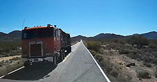
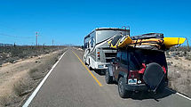
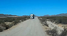
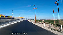
Driving Highway 1, I see a lot of narrow road. Some of this main Baja paved road has been widened to include some in-lane wiggle room and shoulders, but not all. Here are some example photos of what much of Highway 1 still looks like. I like collecting these images to show people who consider bicycling through Baja California (as many people do) what to expect. The lanes are barely one foot wider than a big semi-trailer truck or RV, and there is usually no shoulder. Normally there's just a drop-off, with the pavement significantly elevated over the surrounding terrain. There just isn't room for two trucks and a bicycle to all pass simultaneously. Despite the narrow lanes, speed limits are ignored and people drive with gusto (or machismo?).
Driving North, Highway 5
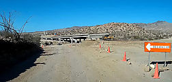
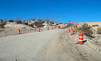
Rather than slogging through all the towns of northwest Baja California after Highway 1 reaches El Rosario, I decided to head northeast and take Highway 5 north to the border. Apparently, lots of other people are now deciding to do the same as the paving of Highway 5 nears completion. As of 2016, there are only 24 miles of rocky dirt road remaining. I encountered several semi-trailers and campers braving these remaining few unpaved miles north of Highway 1 at Chalapa. I saw lots of evidence of road construction going on, but it was Sunday and no workers were around.
Once I reached pavement and achieved the posted 110 KPH speed
limit
 29.6179, -114.4015
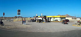
Here is the busy Pemex gas station at the Alfonsina's turn-off.
Percebú - Sand Island
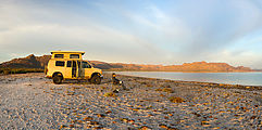
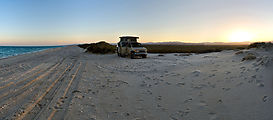
For my last night in Baja, I camped on the Percebú sand bar ("Sand Island"), one of the last beaches in the area which is still undeveloped.
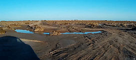
Access can be tricky at high tide (as it happened for me) when seawater floods the mud flats that must be crossed, but I didn't get stuck. Arriving on the sand bar, I saw this sad disabled Jeep getting towed down (off?) the beach by some guys in a pickup truck and a long rope. The couple in the Jeep did not look happy.
Heading Home
It was time to go home. I drove the rest of Highway 5, north through San Felipe and then on to Mexicali.
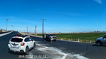
On the way, I encountered some stopped cars just before a bridge, and people waving me down. Apparently a (live?) power line had just fallen to a level just feet above the road surface. Wow, that would have been horrible to hit at speed! I am so thankful for the warning. And luckily there was a low road that bypassed the bridge now blocked by the power line.
Military Checkpoints
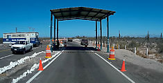
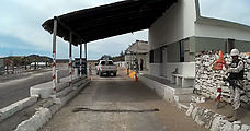
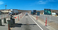
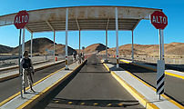
And, of course passed through a few more military checkpoints.
At these stops, I've found that I'm always asked where I'm coming from ("¿De donde va?") or where I'm going ("¿A donde va?"), so it's always a good idea to have simple answers to these questions ready in mind (I usually just name the previous/next town), even if the real answer is somewhat complicated. Unfortunately I always seem to miss that first word in their questions, so I'm never quite sure if they're asking me about where I'm coming from or going to.
Often the soldier(s) will ask then me to open my vehicle so they can poke around inside. Mainly I think they're just curious to see what toys I have in the van. I've learned that producing my map (Baja Almanac ) and talking about my trip plans or asking a question is a good distraction for the soldiers, but they don't seem to actually know much about the local area they're stationed in.
I have come to realize that if there's anything you'd prefer soldiers not to see, just put it in your pocket! They have never searched my person.
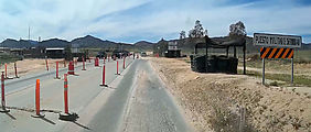
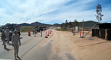
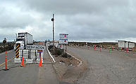
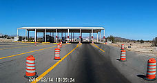
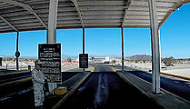
Anyway, if you're curious, here are some checkpoint photos from throughout my trip, via my dash camera:
Border Crossing
Leaving Mexico, I crossed the border at "Mexicali East"/"Calexico II" again. 

 32.6671, -115.3877
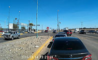
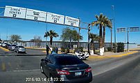
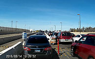
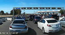
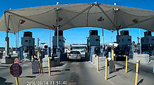
Though I have never bothered to do so in the past, this time I decided to see what it would take to be a good boy and actually return my FMM documents to Mexican immigration. It was somewhat confusing — here is what I did: I approached the border crossing driving eastbound, passing by all the cars queued up in the left-hand lane, and (following the example of other drivers) made a left turn from the middle lane (in front of the waiting vehicles) into the border complex. Watch out, this intersection is chaotic! There is a motorcycle police officer watching this whole process, silently condoning the crazy traffic. At the next stop I turned left again, cutting through the line of exiting cars so I could get into the parking area. I then walked north to the immigration office to return my FMM.
With this completed, I drove out of the complex to start over again. I drove a block west so I could U-turn back into the line of cars waiting to exit. I picked this longest line because I had just a plain old passport rather than any special expedited entry documents. Some other cars passed me on the right, perhaps going to other special immigration lanes or to what seemed to be some kind of informal car-wash area. Perhaps I should have headed right as well, but I stayed in the longest / slowest lane and this lane fed into an area marked "Ready Lane". A sign now specified that I must have special documents (RFID-enabled cards). My passport was not listed here as one of the allowed options, but I was now trapped in this lane by a concrete lane barrier. Oh well. In any case, the US immigration agent didn't seem bothered when I presented him my lowly passport.

