Calamajué Road
Instead of continuing on the "main" dirt road all the way back to the
highway, we took an even smaller road. 
 29.5179, -114.2250
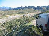
At first, Laura could not understand why we were continuing this punishment. The road had become sandy and now consisted of huge waves of washboard, turning our ride into a trip out at the sea. Up and down, up and down. It's obvious that the SCORE Baja 1000 is routed through this area. The Baja 1000 is a road race from Ensenada to La Paz every November. We saw little race markers sporadically along the road.
Misión Calamajué
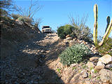
We finally came to a steep hill where the road dropped into a canyon and
onto the mostly dry river bed. 
 29.4224, -114.1983
The map showed that the remains of the Misión Calamajué were on the hill
above us, so we decided to go up and look for them. After hiking up some very
crumbly rock, and through the cactus, we found that the building had completely
disintegrated into a piles of dirt. 
 29.4210, -114.1952
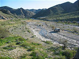
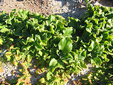
From up on the side of the canyon, we had a gorgeous view into the valley, with the riverbed below and a small pool that attracted birds and bugs. A pocket of life in the desert! A little ways down the trail we found water trickling down from a white plateau of crusty salt. After some investigation, we found a small, slightly warm spring bubbling up from behind. The water trickled down the plateau and into the river, creating a wide salty, sulfur-smelling area. We walked back to the car through green undergrowth whose leaves were rough, thick, and slightly moist. Laura dubbed these succulents "tongue plants".
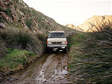
The road then continued up the river bed for several miles, sending us through big ups and downs, and past a group of men (who stared at us slack-jawed) mining the canyon walls for slate. While driving our large van through a narrow wet track, squeezing between huge marshy bushes towering over us on either side, we encountered a some motorbikes heading from the other direction. Geoff, always the gentleman, managed to move our van up onto the bank to give them a little space to sneak by.
Cactus Forest
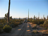
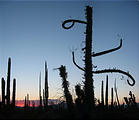
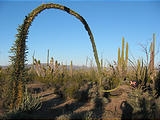
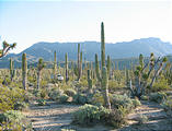
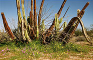
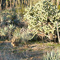
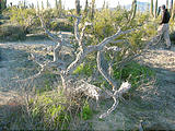
After getting out of this valley, we continued heading south into a gorgeous sandy forest of cactus. The variety of plants was just amazing. The further down the road we drove, the more diverse the vegetation became. And then, along came what Geoff has been waiting for: our first boojum (cirio)! The boojum is a wacky plant, right out of a Dr. Seuss book. Some describe it as an upside-down carrot. It is long and thin with a white-ish bark that tapers up into a point. Sometimes it's straight, other times it curls over or starts new growths from its middle. As it had recently rained, the boojums had sprouted tiny green leaves. Some had just a few leaves and others were quite hairy!
We decided to camp in the midst of the cactus forest 
 29.2790, -114.1502
Surprisingly, this wonderful spot we were in was only a few miles from the
main paved road, Highway 1. If we were to visit this cactus forest again, we
would probably access it from Highway 1 
 29.2415, -114.1532


