Southwest Vizcaino
Estero la Bocana
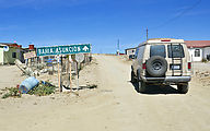
Passing through the village of Estero la Bocana on the way to Bahía Asuncion
Bahía San Hipolito
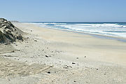
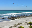
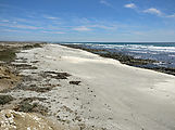
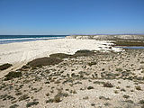
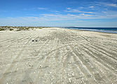
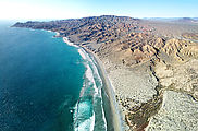
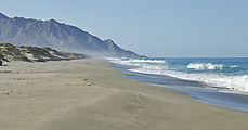
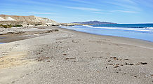
Bahía San Hipolito has a big beach of white sand and broken shells. There is beach access at El Batequito

 26.8683, -113.7591
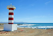
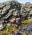
The lighthouse at Punta San Hipolito. I stopped to climb the lighthouse, and then poke around the rocks and tidepools.

 26.9729, -113.9886
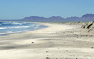
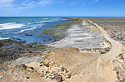
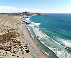
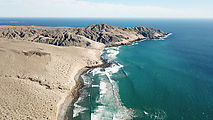
Scenic beach continues around the corner of Punta los Lobos.
Bahía la Asuncion
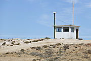
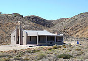
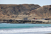
Continuing northwest, I passed Punta Prieta on to the beaches of Bahía La Asuncion. Here's another vigilancia shack.

 27.0359, -114.0533
Passing through the fishing village of San Roque, I saw that their burned-out church has been rebuilt.
Playon San Pablo
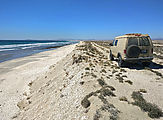
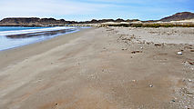
Around the corner from Punta San Roque is the beach Playon San Pablo. You can get there by heading north over the steep
windy vigilancia tracks on the rocks of Punta San Roque, but this time I took an easier inland route. I turned
southeast at 
 27.2115, -114.4064
 27.2061, -114.4311
As the sun set, I played a little game of at making at least a small effort to minimize my use of lights, as to not attract the attention of the vigilancia - whose shack I could see perched up on the rocks at the south end of the beach. But, sure enough, just as I was dozing off to sleep, a pickup truck roared up and some vigilancia guys jumped out to check in on me. As always, they were perfectly friendly, but late night visits from strangers aren't a feature I look for in my vacations.
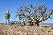
The next day I headed back along arroyo San Andrés and went then north-northwest a few miles inland to Bahía San Cristóbal. I started seeing a bunch of elephant trees (a "forest" perhaps?) in the vicinity of a hill the map calls Cierra el Elefante.
Bahía San Cristóbal
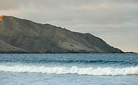
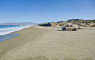
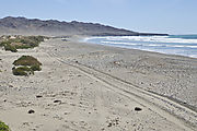
I followed arroyo El Tordillo down to check out this beach on Bahía San Cristóbal. 
 27.3246, -114.4861
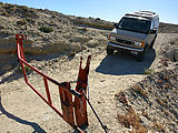
A bit farther north, I tried again using the access the shore, via road to the San Cristobal and Puerto Nuevo. I found
this route to be blocked by a locked gate at 
 27.4068, -114.4749
La Playon
I made it back to the main Vizcaino highway at San José de Castro, and continued northwest past Bahía Tortugas
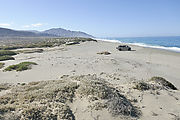
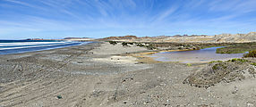
towards Punta Eugenia, checking out some beaches on the way. Here is El Playon, a decent beach, but the lagoon seems to
collect trash blown about. Blowing trash is sadly a common issue in the Vizcaino. 
 27.7100, -114.9441
Punta Quebrada
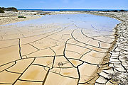
The next beach is just southeast of the Punta Quebrada fishing camp. Being in sight of houses doesn't make this place
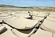
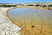
very private. And the road ends in mud which prevented me from driving all the way to the beach. But this slowly drying
mud held my interest with its compelling irregular pattern of cracks. 
 27.7297, -114.9874

