Punta Eugenia and North Vizcaino
Punta Eugenia
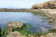
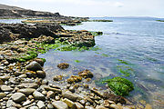
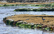
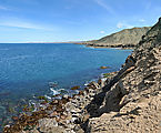
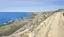
Here are the rocky tidepools of Punta Eugenia, at the very tip of the Vizcaino peninsula. 
 27.8538, -115.0727
Punta Falsa
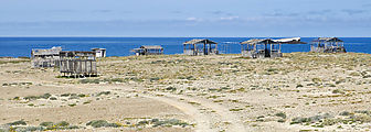
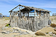
The road continues a little farther, around the corner to the right, passing Punta Falsa where these abandoned cabanas
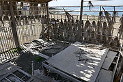
made of wood and palm fronds are slowly decaying. It looks like care was taken in building them at some point, but now
they are slowly blowing apart. Some are still padlocked shut, despite the gaping holes in the walls. I wonder what is their
story? 
 27.8608, -115.0557
Punta Puerto Escondido
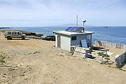
The road ends at Punta Puerto Escondido, where there is a final vigilancia shack. 
 27.8564, -115.0419
North Shore of Vizcaino
However, there is no road east along the next six miles of the rocky north shore. So, to continue my tour, I had to retrace my steps to Bahía Tortugas, and then head north from there.
On the way I made one quick detour to check out the view from some communication towers I spotted.

 27.7801, -115.0004
Returning to the north shore near El Chevo, I made my way east to the fishing village of Malarrimo. I had intended to
keep wandering east to see if I could make it all the way to Malarrimo Beach, but these signs made it clear that the
vigilancia did not want tourists here without their explicit permission. 
 27.7952, -114.7184
Oh well... I did my best to see most of Vizcaino. With all the vigilancia, I probably won't be drawn to do much more camping around here in the future.

