Southern Arizona & New Mexico

I bypassed Phoenix, staying on the backroads until I had reached Interstate 8, which I took east to Tucson.

Titan II Missile Silo Site

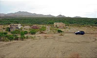
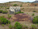
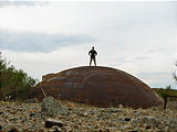
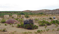
The Tucson area once contained many Titan II Missile silos. I had visited one the previous year which had been preserved as a museum, but I had the GPS coordinates of the other missile silo sites. This one, 25 miles southeast of Tucson, was far from a museum. See in Google Maps  See on a USGS topographic map  See in Google Earth   31.9572, -110.6623  There were no signs, and it looked like it had been partially dug up. But there was an ominous giant blast dome to climb on, and various other mysterious structures sticking out of the ground.

Old Titan II Missile Silo Site (Southeast of Tucson, on the Old Sonoita Highway) Old Titan II Missile Silo Site (Southeast of Tucson, on the Old Sonoita Highway) Old Titan II Missile Silo Site (Southeast of Tucson, on the Old Sonoita Highway) Old Titan II Missile Silo Site (Southeast of Tucson, on the Old Sonoita Highway)

New Mexico

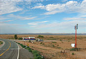
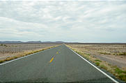
Entering New Mexico, I took the lonely two-lane Highway 9, which parallels the Mexican border.

New Mexico Road - Gas New Mexico Road

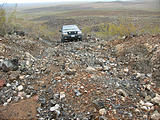
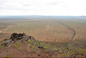
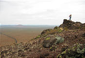
I paused near Malpais (nothing there) where I had my encounter with the Border Patrol the year before , to climb Guzman's Lookout and check out the unobscured view of the Mexican border. See in Google Maps  See on a USGS topographic map  See in Google Earth   31.8227, -107.2256 

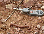
Guzman's Lookout Mountain - New Mexico - Malpais - Near Border - Driving Up Rough Trail - Jeep Guzman's Lookout Mountain - New Mexico - Malpais - Near Border - View From Top Guzman's Lookout Mountain - New Mexico - Malpais - Near Border - View From Top - In Lookout Guzman's Lookout Mountain - New Mexico - Malpais - Near Border - Large Millipede