Gulf of California, North
Mexicali
I crossed the border into Mexico at Mexicali East (which is much smaller and more laid back than the main crossing further west into Mexicali proper). 

 32.6716, -115.3884
I then spent much of the morning in the city of Mexicali stocking up for my trip — with a visit to the ATM for cash, groceries, a new SIM card for my Mexican phone, and ... tacos!
Percebú / Sand Island
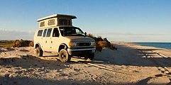
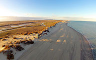
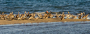
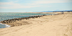
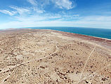
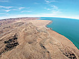
When I was ready, I headed south on Highway 5. Four hours later, I was on one of my favorite beaches south of San Felipe, a deserted sand spit south of Percebú (known as "Sand Island"). Access can be tricky near high tide, as the access road gets flooded and turns into impassible mud. It's most likely this inaccessibility that keeps this beach from being developed with gringo vacation homes like the other beaches to the north and south. In any case, I was lucky with my timing. 
 30.7911, -114.6998
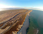
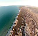
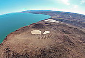
The aerial photos were taken with a DJI Phantom quadcopter carrying a GoPro Hero2 camera .
There were plenty of pelicans around, including one sad pelican I saw walking up the length of the beach, apparently with a broken wing [not pictured].
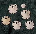
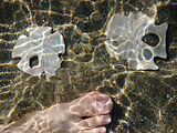
Wading out into the water, I found these nifty sand dollars with both 5-fold and 2-fold symmetry. And I managed to not step on this flat little ray hiding in the sand.
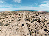
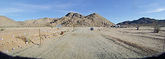
Here is the Percebú access road. You can see the marshy area it crosses before the sand spit on the right side of the first photo below.
Volcán Prieto
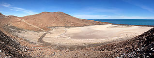
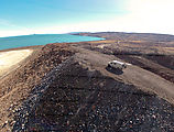
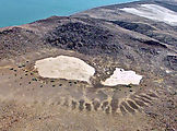
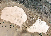
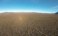
I had driven by Volcán Prieto many times, but this trip was the first time I had my flying camera with me — so I stopped to take some aerial photos of the volcano. The crater at the top has two little white dry lake beds, in which people have written messages with black rocks. The volcano almost looks like it has a face peering out the top, with these two playas as eyes, and the dry rivulets below as a toothy grin. 
 30.2257, -114.6558
Pavement Ends
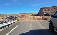
Every time I take this route, the new paved highway south from San Felipe extends farther south. This time I encountered the road construction that marks the end of pavement just before the turnoff for Gonzaga Bay and Alfonsina's. 
 29.8270, -114.4227
Cactus Forest
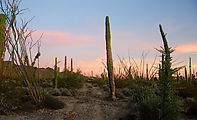
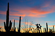
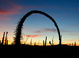
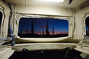
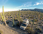
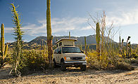
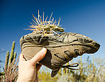
That night I camped in a forest of cactus — a valley filled with cardon, cirio ("boojum"), and plenty of other exotic (to my eyes) plants. I had last visited this same spot nine years earlier
, so I tried to retake photos of plants I'd seen previously. In the desert, not much growth happens in nine years. 
 29.2784, -114.1499

