Vizcaino Peninsula: Malarrimo & Bahia Tortugas
Malarrimo Beach
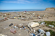
Next on my agenda was an expedition to the "trash beach" of Malarrimo, which I had last visited in
2002
. I had high hopes of finding curious items washed up from the 2011
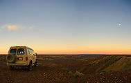
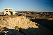
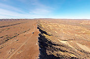
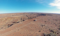
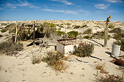
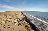
tsunami in Japan. My favorite part of the journey turned out to be camping at
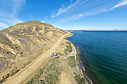
the dramatic edge of the Varadero river canyon where it joins the Ceribe canyon. 
 27.6291, -114.4974
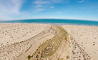
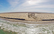
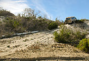
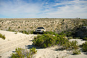
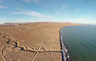
The next morning, I followed the Ceribe (dry) river down to Malarrimo Beach. Much of the "road" is simply the river bed itself, part sand and part rocks. Slow going!
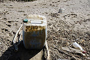
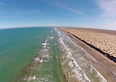
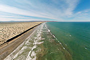
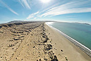
The "trash beach" turned out to not be very exciting. There was significantly less trash around this time, compared with my previous visit. And none of this plastic detritus was very interesting.
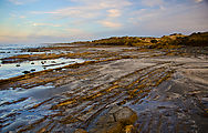
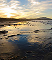
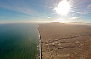
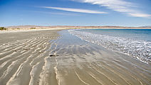
Nonetheless, it was exciting to be at such a remote beach — which, apart from the trash, was beautiful!
Heading back south, I considered taking the "pipeline road" northwest and follow the north coast of the Vizcaino Peninsula, but I got spooked by the thought of getting my van stuck so far from any help. The "road" itself looked rarely used, with only a couple of motorcycle tracks visible. At a pipeline valve, I encountered a series of moisture-collecting bees, busily coming and going. 
 27.7188, -114.4286
El Chevo
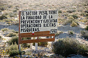
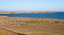
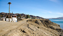
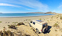
I took the long way down the Vizcaino Peninsula, driving south to the paved road, then west to Bahía Tortugas, and finally north again to shore — and I camped at the beach a couple miles east of the fishing town of El Chevo. (The main road is still unpaved for a few miles through Sierra los Indios.) The residents of El Chevo seem to be very concerned about poachers — there were many signs warning about illicit fishing, and I was paid a visit after dark by a couple of friendly security guards ("vigilancia") patrolling in a pickup truck. 
 27.8089, -114.8281
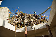
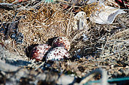
There is a distinctive red and white striped lighthouse at Punta Loco. Climbing up inside, I encountered a huge nest on top — complete with three eggs! I quickly retreated, allowing the osprey parents to return. 
 27.8078, -114.8385
Bahía Tortugas
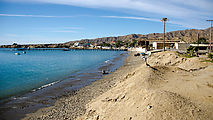
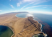
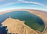
I explored the Bahía Tortugas area, starting with the town on the west side of the bay 
 27.6916, -114.8918
 27.6263, -114.8453
Osprey Nests and Power Lines
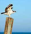
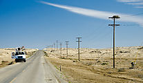
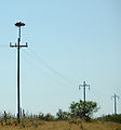
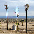
In addition to lighthouses, ospreys really seem to love power lines as nesting sites. Leaving Bahía Tortugas, I found these power line workers busy trying to remove an osprey nest. Luckily other power lines seemed to include nesting platforms, or secondary poles away from the live wires built specifically for nests.

