San Felipe & Highway 5
I enjoy starting my Baja trips by avoiding Tijuana, Highway 1, and those well-populated areas along the northwest coast. Instead I take Highway 5 south from Mexicali and go down the east coast.
I didn't spend much time exploring the northern end of Baja on this trip.
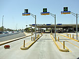
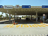
Mexicali Border Crossing
I picked up my tourist permit (FMM) at the border. This involves getting papers from the immigration office, walking to a bank next door to pay my fee (about US$20), and returning to finish processing my papers at immigration. Other than myself, the immigration office was totally deserted. The whole process still took almost an hour. Does anyone else bother getting this proper paperwork?
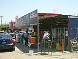
Before leaving town, I had my taco recharge in a low-key roadside taco stand (Tacos Luis). I love
tacos guisados (flavorful meat stews). 

 32.6707, -115.3885
Highway 5
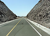
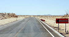
I drove the entirety of Highway 5, from Mexicali south passing through San Felipe and Puertecitos to where the pavement ends, then continuing on the washboarded road past Coco's Corner, finally returning to the main Highway 1 250 miles south of the border. Getting south this way has recently been becoming faster and less of an ordeal as more and more paved road gets added south of Puertecitos.
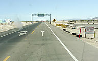
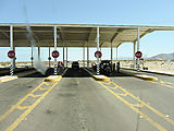
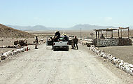
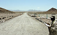
A military inspection point, at the Highway 3 intersection. 
 31.4312, -115.0488
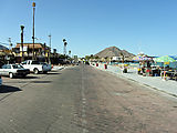
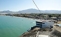
A mandatory stop in San Felipe for fish tacos.
Beach Camping
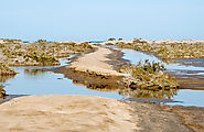
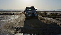
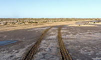
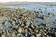
I tried to camp my first night at Percebú (Shell Island) as I had done back in 2009
, but this time the access
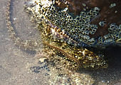
road was flooded with gooey mud. Perhaps it was just because of high tide. A
little crab with a huge claw waved me away. 
 30.7762, -114.7062
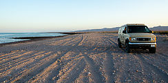
I ended up camping a little farther south, at a spot my map calls Campo Goyo —
one of the few remaining undeveloped areas along the coast from San Felipe to
Puertecitos. I found a shy little octopus trying to squirm under a rock at low tide.

 30.4598, -114.6388
South of Puertecitos
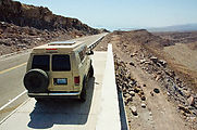
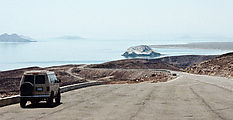
Each time I return to this area , the paved road has been extended by another few miles. What a difference driving 60 MPH instead of 15 MPH!
As of May, 2012, the end of pavement was here 
 29.9391, -114.5265

