San Cosme, San Javier, San José de Comondú
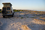
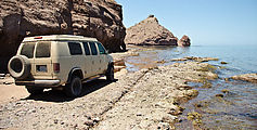
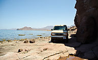
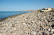
Back on the paved Highway 1, I headed south, camping as I had back in 2005
on the
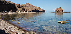
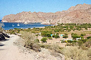
Bahía Santa Inés beach at Punta Mapachito, the last bit of undeveloped beach in
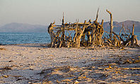
the area. This beach boasts plenty of interesting seashells. Someone had built
a very elaborate driftwood structure. 
 27.0309, -112.0080
Loreto
Passing Loreto, I saw many of lush resorts and golf courses. I didn't even slow down.
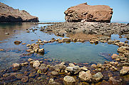
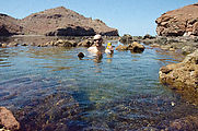
San Cosme Hot Spring
The road to Agua Verde winds steeply down from the Mesa Siquito though a series
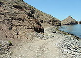
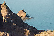
of exciting narrow switchbacks. At the bottom is San Cosme, where there is an
underwater hot spring close to the shore. It is only accessable at low tide,
from a seashore "road" that is usually submerged. The local ejido has added a
locked gate on this route, so I had to ask the caretaker for permission to
enter. He repeatedly expressed how much he liked my baseball cap, so I left it
with him as a gift. 
 25.5916, -111.1731
The tide was rising, so I made the tough decision to leave beautiful San Cosme hot springs, and do some more exploring elsewhere, rather than commit to staying there for another eight hours until the next low tide.
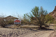
I scouted around along the road to Agua Verde for a nice place to camp along the shore, but I found the beaches to be signposted as restricted by the local ejido.
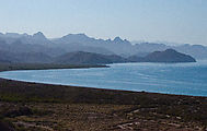
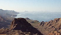
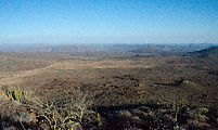
I ended up camping up in the hills in a secluded spot I had found back in 2005 . This wasn't on the beach, but there was a nice panoramic view of the coast!
Sierra la Giganta
Next I spent a couple days on a journey over inland backroads from Loreto up Sierra la Giganta to Misíon San Javier, and then onwards to the Pacific coast along a rocky dirt track. Slow going!
Misíon San Javier
The road from Loreto to San Javier is paved, but very winding and steep.
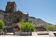
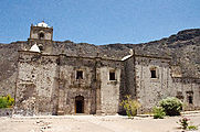
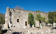
Misión
San Francisco Javier de Viggé-Biaundó
was a Jesuit mission in use from the
early 1700's through 1817. The mission is currently in great shape (restored),
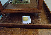
and is interesting to explore inside & out. I wasn't sure why someone had
carefully placed this potato — as an offering, perhaps? 
 25.8610, -111.5438
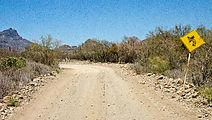
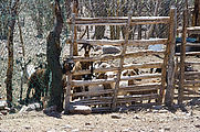
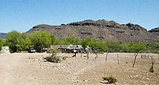
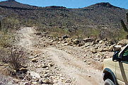
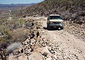
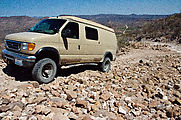
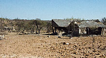
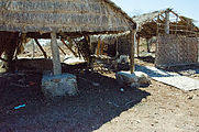
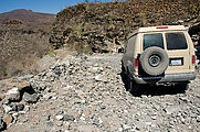
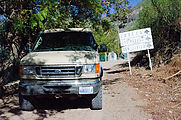
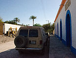
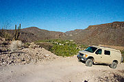
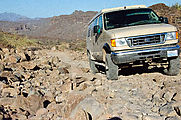
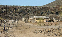
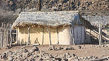
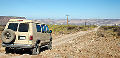
Then, heading west again, I left pavement and the going got rough — steep and rocky — often washed out. If I had a motorcycle I bet I could cover this ground much quicker, but with my van's stiff suspension I was often travelling at 15 MPH. Bumpity bumpity bump. I passed sites my map identified as Monte Alto, Palo Chino, and Las Animas — each having just a few ranch buildings with thatched roofs and walls made of woven mats. Nobody was around except for some very hungry looking goats who were very excited to see me and disappointed when I left.
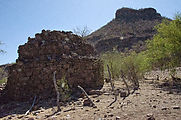
El Horno
This ruined structure once was used to make mortar for building the nearby missions. 
 25.9965, -111.7104
Misíon San José de Comondú
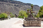
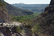
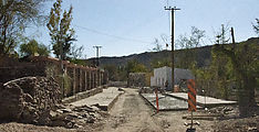
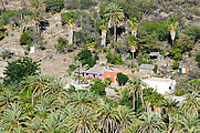
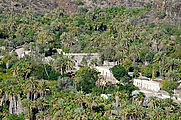
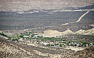
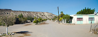
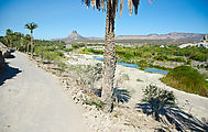
In an oasis valley of palm trees are the towns of San José Comondú and San Miguel Comondú.
This location for the Misión San José de Comondú was in use as a Jesuit mission from the mid 1700s through 1827.
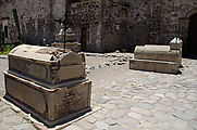
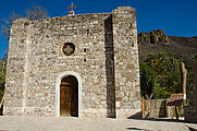
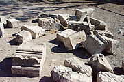
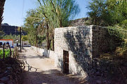
I visited the old mission chapel. This chapel is only standing remains of the original
Misíon San José de Comondú building — most of which was torn down in 1936. The front face of the chapel
is a modern reconstruction in period style. The chapel orignally faced into the interior of the larger
mission building. 
 26.0596, -111.8226
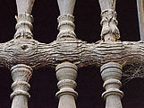
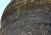
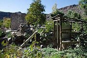
Exploring around the chapel, I found a bell, some wall ruins, some outhouses, a barred door that I read was once used as a jail, and a twisty gnarly old tree.
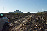
The main road out of town heads southwest. I instead took the more minor road
northwest, which climbed steeply back up onto the mesa, with a great view of
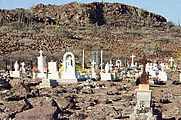
San José Comondú. The town cemetery is also up there. 
 26.0593, -111.8338
El Pabellon
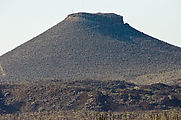
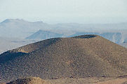
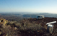
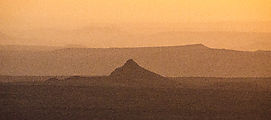
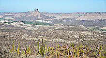
I love roads that climb to mountaintop vista. El Pabellon is a conical hill with
its top sliced off — 600 feet from base to top. A set of radio towers is up
there, which require an access road — a very steep & narrow crumbly 4x4 road,
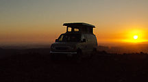
it turns out. From the top I watched the sunset, and camped for the night.

 26.0988, -111.8952
As you might expect, there was a stunning view of the surrounding landscape from the top.
Driving down was almost as exciting as driving up.
Continuing west.
San Isidro and La Purisma
The next towns with access to water, San Isidro and La Purisma, marked the end of my bumpy trans-peninsula journey from Loreto to the Pacific Coast.
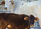
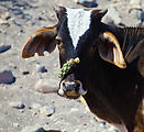
These poor cows didn't have a way to pull off the cactus pieces stuck to their noses.

