M & G's Adventure
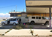
Our Utah adventure began in Green River, where we made use of the shade at this abandoned gas station to consolidate our stuff into the van for a week of exploring southeast Utah.
Three Finger Canyon
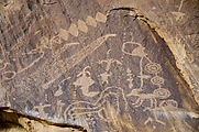
Heading west along Interstate 70, we first checked out some rock art near the highway — including the Black Dragon Canyon pictographs (not pictured) and Three Finger[s] Canyon petroglyphs.
Goblin Valley
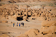
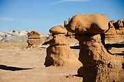
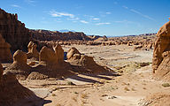
An old favorite! It's everyone else's favorite too, so be sure to get their early in the morning if you want to enjoy Goblin Valley in silence. Then it's the perfect spot to let loose the kids for climbing and hide-and-seek. 

 38.5645, -110.7033
Hite Crossing
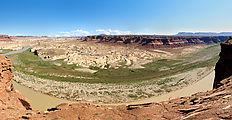
Heading southeast on Highway 95, we stopped at Hite Crossing to look at the former Lake Powell — now once again the confluence of the Dirty Devil and Colorado rivers. The water levels have dropped so much that Lake Powell no longer reaches this far north. Note the boat ramp to nowhere on the right. A great viewpoint is at 

 37.8812, -110.4081
South Elk Ridge
On to the Cedar Mesa area to track down some ruins!
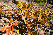
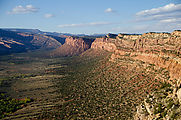
Driving South Elk Ridge, we took a little detour to look south out over Texas Canyon and enjoy the miniature oak trees' fall colors. There are plenty of secluded backcountry camping spots here in the woods. 

 37.6436, -109.8399
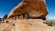
Over Under Ruin
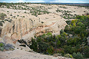
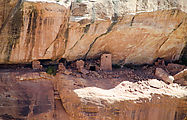
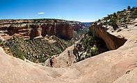
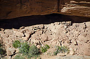
We regarded this ruin from a distance. I imagine it would be fun to use ropes to climb down and explore the cliff dwellings up close.
Milk Ranch Point
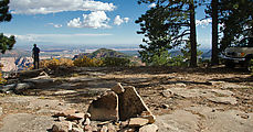
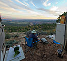
We pulled over to camp at the southern end of Milk Ranch Point at a viewpoint just before the road descends towards Arch Canyon. 

 37.6267, -109.7425
Lewis Lodge Ruin
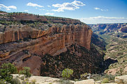
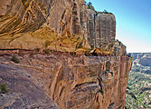
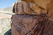
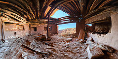
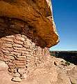
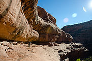
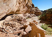
These 750-year-old dwellings were built with defense in mind. There's only one way out onto this ledge, which is two-thirds of the way up an 800-foot cliff. Lewis Lodge has a mostly intact kiva, complete with earth-plastered walls and alcoves.
Comb Ridge
Camping just north of the point where Highway 95 cuts through Comb Ridge. 

 37.5158, -109.6462
Comb Ridge Dugway
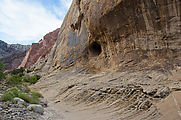
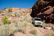
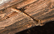
Returning to pavement, we decided to take the bumpy way down — the old eroded remains of the Comb Ridge Dugway, once the main "highway" over Comb Ridge. It took us about an hour in the campervan to drive this one-mile road. We spotted the rusty remains of one car that didn't quite make it. At the bottom, the road was marked with sign declaring the trail rated a blue square ("More Difficult"). I hope to never find myself out on a black diamond trail. 

 37.5706, -109.6592
Citadel Ruin
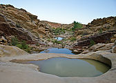
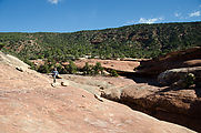
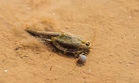
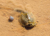
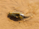
Hiking to the Citadel ruin, we passed by these desert rock pools still holding water. Peering into the water, we were surprised to see them full of activity, with little snails, bugs, and Jurassic-looking tadpole shrimp. (We had to look them up!)
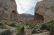
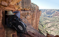
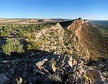
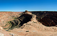
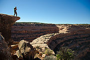
The Citadel Ruin — a scene right out of a fantasy novel! A catwalk approach leads to this defensive outpost hidden in a rocky point surrounded on three sides by canyon, 500 feet below.
Looking down into the canyon, we could spot the Seven Kivas Ruin.
Seven Kivas Ruin
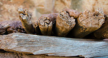
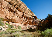
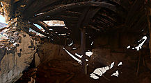
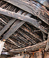
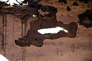
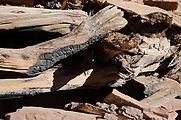
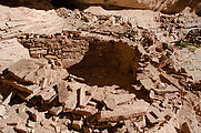
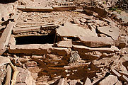
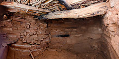
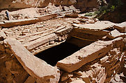
The next day we investigated the Seven Kivas Ruin site which we had seen the day before from the ridge above, as well as other minor dwelling sites we found on the way. At least one kiva was completely intact, roof and all. We were able to photograph the rooms by carefully lowering our cameras through the ceiling entrance.
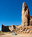
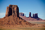
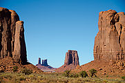
Monument Valley
Monument Valley Navajo Tribal Park
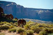
is curiously different from National Parks. Most viewpoints here have some kind of commerce activity — with extensive vending tables with native crafts, or horses for hire. 

 36.9573, -110.0591
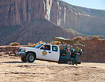
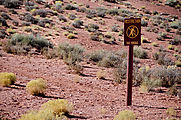
Access to the giant rock monoliths is via a dusty rutted unpaved road, on which tourists may drive their own cars. Tourists arriving in low sports cars, or larger vehicles like RVs may tour the loop — in the back of 4x4 pickup trucks. Most of these passengers were seen holding handkerchiefs to their faces to block the dust. Signs all over declared that any hiking is forbidden!
Valley of the Gods
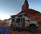
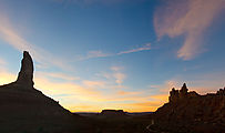
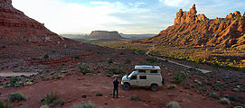
Camping among the "gods". We heard an owl hooting nearby for much of the evening as we watched the stars. M was optimistic we might actually spot him in the morning, but after an hour of peering into the nearby juniper trees, our elusive friend remained hidden. 

 37.3155, -109.8580
Arches National Park
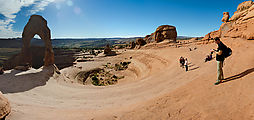
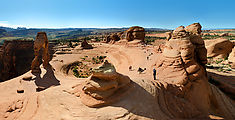
We hiked out to Delicate Arch 

 38.7355, -109.5205
Porcupine Ridge
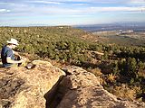
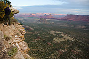
Camping on Porcupine Ridge, at the very edge of the cliff overlooking Castle Valley 1400 ft below. 

 38.5757, -109.3456

