Family Adventure

The family reunites in Moab!

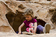
Airport - Salt Lake City (Photo by Laura) Pink Pony (Photo by Laura)

Sand Hill

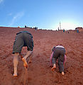
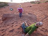
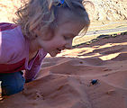
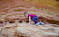
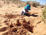
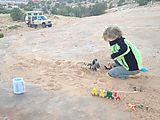
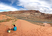
First, a stop at the sandy hill across from the entrance to Arches National Park. See in Google Maps  See on a USGS topographic map  See in Google Earth   38.6130, -109.6133  This spot would prove to be the four-year-old's favorite place in Utah!

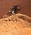
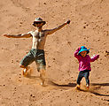
Sand Hill - Climbing (Photo by Laura) Sand Hill - Partway Up (Photo by Laura) Sand Hill - Beetle (Photo by Laura) Sand Hill - Beetle (Photo by Laura) Sand Hill - Sand Angel (Photo by Laura) Sand Hill - Looking Down (Photo by Laura)

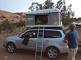
That evening, we all camped together for one overlapping night before our adventures would diverge. M has a nifty rooftop tent on his car. Camping south of Moab See in Google Maps  See on a USGS topographic map  See in Google Earth   38.3802, -109.4452 

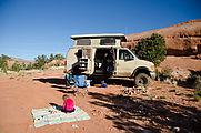
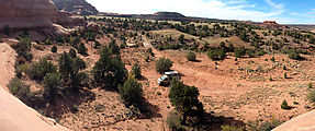
Camping near Hole in the Rock - Subaru - Rooftop Tent Camping near Hole in the Rock - Sportsmobile Camping near Hole in the Rock - Giraffe with Bullet Casing Boots (Photo by Laura) Camping near Hole in the Rock

Goblin Valley

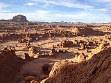
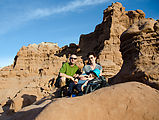
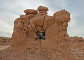
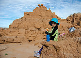
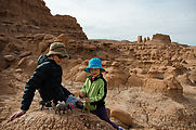
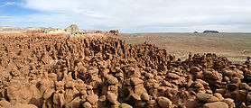
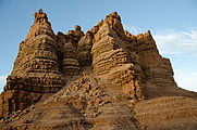
So much to explore! We could spend days wandering, climbing, and getting lost among the Goblins. See in Google Maps  See on a USGS topographic map  See in Google Earth   38.5646, -110.7035 

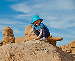
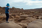
Goblin Valley Goblin Valley Goblin Valley Goblin Valley Goblin Valley (Photo by Laura) Goblin Valley Goblin Valley Goblin Valley (Photo by Laura) Goblin Valley Goblin Valley Goblin Valley Goblin Valley Goblin Valley Goblin Valley Goblin Valley (Photo by Laura) Goblin Valley - Animals and a Stone Bridge (Photo by Laura) Goblin Valley - Animal Playing (Photo by Laura) Goblin Valley - Hole

Little Wild Horse Canyon

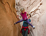
Everyone enjoyed clambering around in the Little Wild Horse slot canyon. See in Google Maps  See on a USGS topographic map  See in Google Earth   38.5825, -110.8029 

Little Wild Horse Canyon - Slot Canyon - Cottonwood Tree Little Wild Horse Canyon - Slot Canyon Little Wild Horse Canyon - Slot Canyon Little Wild Horse Canyon - Slot Canyon Little Wild Horse Canyon - Slot Canyon Little Wild Horse Canyon - Slot Canyon (Photo by Laura) Little Wild Horse Canyon - Slot Canyon Little Wild Horse Canyon - Slot Canyon Little Wild Horse Canyon - Slot Canyon Little Wild Horse Canyon - Slot Canyon - Climbing / Stemming Little Wild Horse Canyon - Slot Canyon - Climbing / Stemming

Molly's Castle

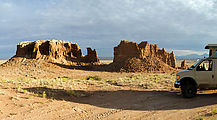
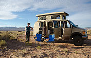
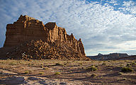
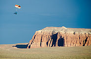
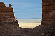
We experimented by taking an unpaved "shortcut" road from Goblin Valley back to the main highway, but got distracted by the beauty of Molly's Castle at sunset — and decided to camp there for the night. See in Google Maps  See on a USGS topographic map  See in Google Earth   38.5794, -110.6880 

Molly's Castle - Campsite - Sportsmobile Molly's Castle - Campsite - Sportsmobile Molly's Castle (Photo by Laura) Molly's Castle (Photo by Laura) Molly's Castle - Campsite (Photo by Laura)

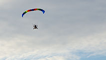
We were buzzed by a squadron of paramotor trikes.

Molly's Castle - Powered Paraglider Trike Molly's Castle - Powered Paraglider Trike (Photo by Laura) Molly's Castle - Powered Paraglider Trike (Photo by Laura)

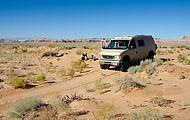
The next morning — stopping to play in some sand dunes. See in Google Maps  See on a USGS topographic map  See in Google Earth   38.5614, -110.6458 

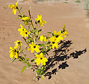
San Rafael Desert - Well Draw - Sand Dunes - Sportsmobile San Rafael Desert - Well Draw - Sand Dunes (Photo by Laura) San Rafael Desert - Well Draw - Sand Dunes - Flowers

Lime Creek Watch Tower Ruin

On to Cedar Mesa!

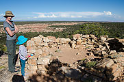
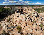
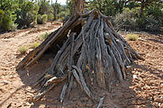
Some rocks remain in circular formation at this elevated spot with a commanding view of the surrounding mesa. Nearby was also this curious conical structure made of branches. Ancient, or recently constructed? Hard to say. It looks about the same as when I last saw it three years ago .

Lime Creek Watch Tower Ruin Lime Creek Watch Tower Ruin Lime Creek Watch Tower Ruin - Conical Wood Structure

Valley of the Gods

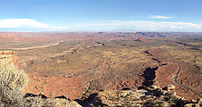
We descended the Moki Dugway, an unpaved (why is it still unpaved, I wonder?) section of Highway 261 that drops 1000 feet, from Cedar Mesa down into the Valley of the Gods. See in Google Maps  See on a USGS topographic map  See in Google Earth   37.2740, -109.9395 

Moki Dugway - Looking Down into Valley of the Gods (on the left) (Photo by Laura)

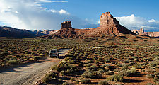
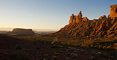
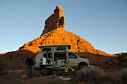
Once again, camping at my favorite spot in Valley of the Gods. See in Google Maps  See on a USGS topographic map  See in Google Earth   37.2911, -109.8526 

Valley of the Gods - Sportsmobile Valley of the Gods - Campsite Valley of the Gods - Campsite Valley of the Gods - Campsite Valley of the Gods - Campsite Valley of the Gods - Campsite - Sportsmobile

Hobbs Wash Ruin

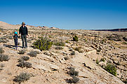
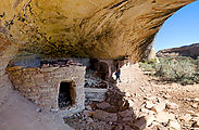
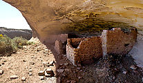
I had heard that ruin was less than a mile from a major road, so we decided to see if we could find it with our four-year old explorer.

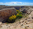
Hiking to Hobbs Wash Ruin - Cottonwoods in Butler Wash Hiking to Hobbs Wash Ruin

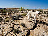
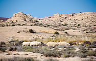
On the way, we encountered a pair of huge friendly white sheepdogs. Apparently, we were the best thing to happen to them all day. It took a while to convince them to go back to tending their sheep.

Hiking to Hobbs Wash Ruin - Sheep Dogs Hiking to Hobbs Wash Ruin - Sheep

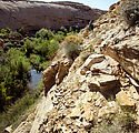
Somehow, we brave parents managed to guide (& carry) our agile four-year-old to the ruin without any major canyon-plumeting injuries. Though this ruin is close to the road, finding our way down into the wash wasn't trivial.

Hiking to Hobbs Wash Ruin Hiking to Hobbs Wash Ruin Hobbs Wash Ruin Hobbs Wash Ruin Hobbs Wash Ruin Hobbs Wash Ruin - Petroglyphs Hobbs Wash Ruin

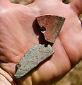
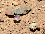
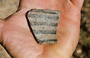
Under the prickly pear cactus, the midden in front of the cave dwelling was loaded with pottery shards and flaked stone tools. It was tempting to take home some souvenirs, but we left with only photographs.

Hobbs Wash Ruin - Midden Hobbs Wash Ruin - Midden - Pottery Hobbs Wash Ruin - Midden - Pottery Hobbs Wash Ruin - Midden - Pottery Hiking Back from Hobbs Wash Ruin - Butler Wash Hiking Back from Hobbs Wash Ruin - Getting a Ride

Abajo Mountains

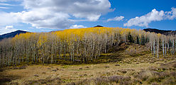
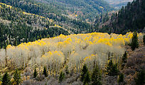
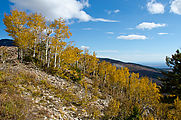
Heading north towards Moab again, we took a detour through the Abajo Mountains, crossing Jackson Ridge at almost 10,000 ft. elevation. Patches of brilliant yellow color remained on the last autumn leaves of the aspen trees. See in Google Maps  See on a USGS topographic map  See in Google Earth   37.8215, -109.5042 

Abajo Mountains - Jackson Ridge - Aspen Trees - Fall Colors Abajo Mountains - Jackson Ridge - Aspen Trees - Fall Colors Abajo Mountains - Jackson Ridge - Aspen Trees - Fall Colors

Newspaper Rock

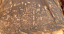
Scratched into this rock is an amazing concentration of petroglyphs. See in Google Maps  See on a USGS topographic map  See in Google Earth   37.9880, -109.5178 

Newspaper Rock - Petroglyphs (Photo by Laura)

Arches National Park

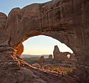
Sunset at Window Arch and Turret Arch See in Google Maps  See on a USGS topographic map  See in Google Earth   38.6870, -109.5366 

Arches National Park - Sunset - North Window Arch - Turret Arch Arches National Park - Sunset - North Window Arch

Camping again, south of Moab.

Camping near Hole in the Rock - Sportsmobile Camping near Hole in the Rock - Sportsmobile (Photo by Laura) Camping near Hole in the Rock - Breakfast - Sportsmobile (Photo by Laura)

More playing on the sand hill.

Sand Hill (Photo by Laura) Sand Hill Sand Hill Sand Hill Sand Hill - Running

Devils Garden Hike

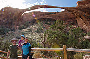
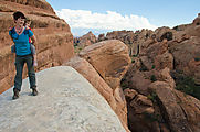
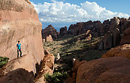
One last visit to Arches — with Landscape Arch, and then a hike among the fins of the Devils Garden trail. This is L's favorite hike in Arches National Park. See in Google Maps  See on a USGS topographic map  See in Google Earth   38.7928, -109.6082 
Arches National Park - Devils Garden Hike - Landscape Arch Arches National Park - Devils Garden Hike Arches National Park - Devils Garden Hike Arches National Park - Devils Garden Hike Arches National Park - Devils Garden Hike Arches National Park - Devils Garden Hike Arches National Park - Devils Garden Hike Arches National Park - Devils Garden Hike