Driving: Mazatlan to Michoacán
(Continued from Mexico Road Trip 2005, Part 1: Baja California , where we took a ferry from La Paz.)
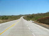
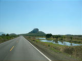
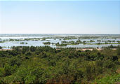
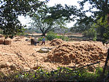
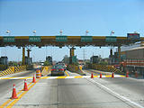
Except for a few hours of driving along the coast south of Mazatlán on local roads, most of Highway 15 east to Morelia is a very nice 2 or 4-lane limited-access toll road. Leaving the coast, we passed through parts of Mexico new to us, with farms and wetlands. Very different from Baja California!
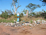
I liked how this Basura ("Trash") sign indicated where the trash was to be found. Too bad it wasn't in the can.
Tequila
It was now getting late, so we needed to find somewhere to camp. This wasn't Baja anymore — we couldn't just pull over anywhere and camp. This part of the country was far too populated for that. Consulting the map, we looked for nearby microwave towers (which might have a view), and found one on a mountain just south of nearby Tequila. (Yes, as in the fine Mexican beverage!)
Because we were on a limited access toll road, we couldn't just pull off onto the microwave tower road. We had to drive north into Tequila, and then back south under the highway to the mountain.
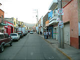
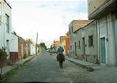
Tequila central was a quaint place, with cobblestone streets and people on
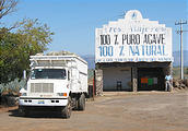
horseback, but the outskirts were strewn with tourist shops hawking enormous
clear plastic containers of the namesake beverage. After winding through the
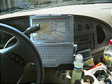
maze of streets and frequently consulting the GPS, we finally found the
cobblestone microwave tower road leading south out of town.

 20.8710, -103.8420
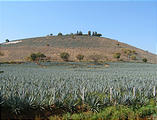
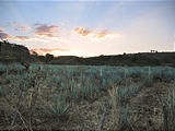
Climbing up the mountain, we passed through the tequila fields where they grow the agave plants, and shred the cores to obtain the fibers used to make the alcoholic beverage. Strangely, we also passed many people in running shoes, sweatshirts, and shorts climbing the hill, apparently for exercise!
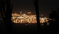
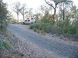
We didn't quite make it to the top of the mountain by nightfall, but we still found a
pull-off with a view of Tequila from above. 
 20.8121, -103.8532
Guadalajara
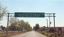
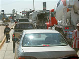
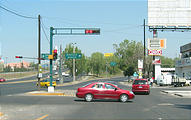
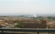
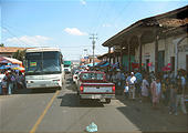
On the road again the next morning, the next city along the toll road Highway 15 was Guadalajara. No highway goes through or even around Guadalajara. We were dumped off onto the city streets to fend with traffic lights and people selling things. Perhaps there is a beautiful part of Guadalajara, but the parts we saw were depressing expanses of dirt, trash, pavement, and cement buildings. The city air had a brown tinge to it.
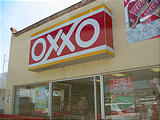
After a few wrong turns and studying the GPS, we eventually we made our way through to the other side, and picked up the toll road again (after a quick stop for refreshments at the Oxxo quickie mart — just like 7-Eleven).
Our destination wasn't quite as far as Morelia. We were heading to our friend Brian's place,
so we left Highway 15 at Panindícuaro

 19.9711, -101.7558
From Zacapu, we headed southeast on Route 15 local and then turned south onto a
tiny unnamed (but still paved!) road south through the villages of David Franco
Reyes 
 19.7591, -101.7233

