Río Dulce, Part 1
Next, we said goodbye to the Guatemalan highlands — and hello to the eastern lowlands of Guatemala! From Panajachel, we took a long road trip east through Guatemala City to Río Dulce and the Caribbean coast.
Again, there were probably many ways we could have made this trip, but we found the local Panajachel travel agents to be less creative and helpful with their advice than we would have liked. We ended up booking our trip through Servicios Turisticos Atitlán (STA) , where we got our best information.
We left on an early morning microbus shuttle that wound its way up the scenic pass out of the volcanoes that surround Lago de Atitlán. We then headed east through Antigua, and finally to a bus station in Guatemala City where we would catch a first class bus to Río Dulce. Although staying in Panajachel provided a good central point for our day trips, Antigua would have been an easier place to catch a bus to Río Dulce (without having to leave at 4:30 AM) but it all worked out just fine.
Guatemala City
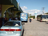
We transferred at the Litegua
Bus Station
in Guatemala City. 
 14.6327, -90.5100
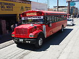
In Guatemala City the local buses aren't colorfully decorated; they're just plain red.
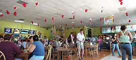
Our bus made a pit stop at Valle Dorado, a water park with a modern
cafeteria. Pets, outside food & beverages, and guns were not allowed. 
 15.0830, -89.4824
Eastern Guatemala
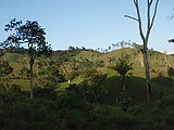
The climate and plants changed many times as we approached sea level — from
the busy streets of Guatemala, through rolling fields of corn, which turned into
deserts with cactus. Finally, we emerged in the lush lowlands — with vines,
rivers, and palm trees. Near the end of our trip we entered the town of
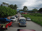
Morales, where the bus felt more like a taxi — dropping people off and picking
new ones up various places. 
 15.4730, -88.8342
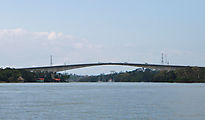
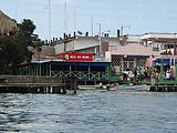
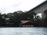
The town of Río Dulce is nothing exciting, but it's a transfer point to the
waterway (of the same name) that travels 20 miles to Livingston and the
Caribbean Sea. 
 15.6516, -88.9926
When we arrived in Río Dulce, we were met at the bus stop by a man who approached us with information on various nearby hotels. We couldn't really tell if he was trying to scam us, but in the end we decided to just trust him and have him arrange a ride to spend the night at Casa Perico (which we had read of in our guidebook). It did seem like he was a legitimate agent paid by the local hotels nearby on the river to share information about availability with tourists. Anyway, he definitely made our lives easier.
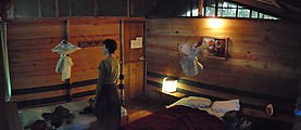
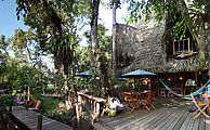
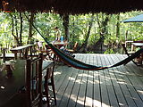
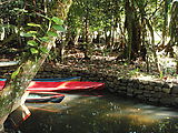
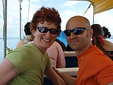
Casa Perico is a rustic backpacker hotel tucked in the wetlands not far from Río Dulce Town. With all of these hotels only accessible by water, you're a bit at the mercy of what they end up serving you — but we found the food and rooms to be reasonably priced at Casa Perico. Here we met some great folks, including our new friend, Charly, a fellow backpacker who joined us for the next couple days of our adventure.
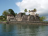
From Casa Perico, we took a boat down the Río Dulce east to Livingston (on the
shore of the Caribbean Sea). We also made a quick detour to El Castillo de San Felipe, a fortress
built by the Spanish to protect the area from pirates. 
 15.6378, -88.9932
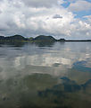
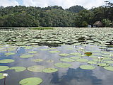
The wide, calm waters of El Golfete (Río Dulce).
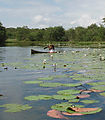
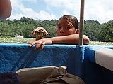
We were visited by a couple of little girls in a traditional hollowed-out wooden canoe. No, they weren't pirates! They showed us cute turtles and tried to sell us some trinkets but, again, weren't very aggressive or pushy about it.
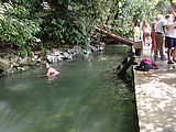
Along the north shore of the Río Dulce, is a hot spring where river water along
the shore is heated to bathtub temperature (with regions of concentrated
boiling hot water). Unfortunately, nippy little fish live in this water, too.
Snacks and touristy items are sold here. 
 15.7745, -88.8117
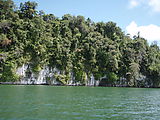
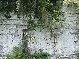
Near the mouth of the Río Dulce, the river banks become dramatic steep white cliffs.
As we moved closer to the coast and the ecosystem changed from jungle to coastal, we saw new birds — including pelicans and frigate birds (some of our favorite birds!).


