Scorpion Bay, San Ignacio Salt Flats
From La Purisma, I headed west to the Pacific coast on a nice sandy road. I was
surprised when I encountered pavement (new, I assume, as it was not shown on my
map). 
 26.2086, -112.3598
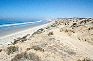
Bahía San Juanico (Scorpion Bay)
Sandy beaches and the busy fishing town of San Juanico. 
 26.2597, -112.4714
Salitrales San Ignacio
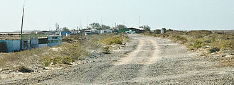
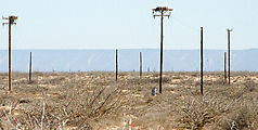
From San Juanico, I continued northwest driving a smooth dirt track over Salitrales San Ignacio — salt flats up the coast to Laguna San Ignacio. This driving surface was much more pleasant than the usual washboard or rocky roads I'd been experiencing.
Estero El Dátil
Estero Delgadito
Studying satellite photos of this area before my trip, I found a road out the two-mile narrow peninsula northwest of the fishing village of El Delgadito. It looked like a beautifully remote place to camp. Tracking this location down in person, I was stopped by a friendly resident of El Delgadito who assumed I was lost trying to find my way to San Ignacio. After explaining that I really was intending to go this way, he shared that he thought this spot was his favorite, most beautiful location — [almost] surrounded by water. He was extremely chatty (and patient with my limited Spanish), finally inviting me to breakfast and fishing the next morning (tempting but I declined).
End of the peninsula, surrounded by the waters of Estero Delgadito. 
 26.6352, -113.0812
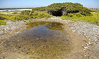
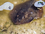
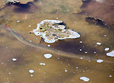
A fascinating 20-foot wide tidepool by the mangroves had trapped a few fish waiting for the next high tide. In it were three one-foot-long rays (skates?) patiently fluttering about, and a very skittish long narrow fish who was so uncomfortable trapped in this pool with my presence that he managed to beach himself several times zipping this way and that — trying to swim away. This was a great place to watch for birds and other wildlife.
Estero el Cuarenta
Another peninsula extends southeast from El Delgadito into Estero el Cuarenta, with sandy beaches on
the Pacific side and mangroves on the marshy estuary side. 
 26.5485, -112.9886
Then I drove the causeway back across to the salt flats, and continued my
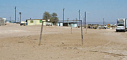
journey north again. I passed this abandoned building in the vast emptiness.
(My map calls this place Julio Valencia.) The dessicated head of a hammerhead
shark lay nearby. 
 26.5848, -113.0240
Reaching Laguna San Ignacio, site of whale watching tours that happen during early spring, I headed north — returning to the paved Highway 1 at San Ignacio.


