La Paz, San Evaristo, San Luis Gonzaga
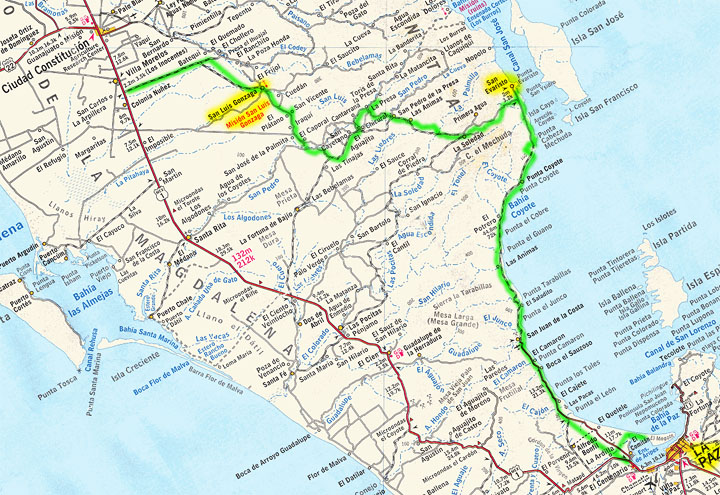
My final loop adventure was back over on the Gulf side, where I drove along the coast north from La Paz to San Evaristo, and then west through the mountains, past the mission San Luis Gonzaga, and finally back out to paved Highway 1. Total distance, including side trips: 186 miles
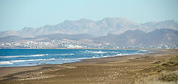
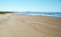
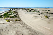
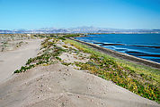
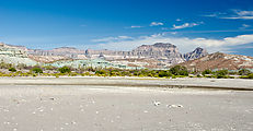
Peninsula el Mogote
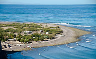
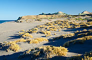
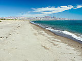
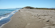
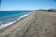
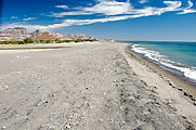
First I checked out Peninsula el Mogote, a large sandspit northwest of La Paz.
Satellite imagery shows that the east end of this peninsula is being developed
into resorts (with a golf course!), but the "neck" on the west end where it
connects to the mainland is still undeveloped dunes with only a graded dirt access road.

 24.1776, -110.4294
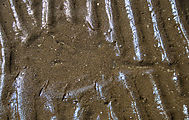
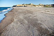
While the north side of Mogote is sandy beaches, the south side is mud flats. I
spotted these curious prints in the mud that looked suspiciously like rays. 
 24.1742, -110.4156
Driving North
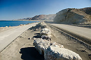
The first 25 miles of the road heading northwest along the shore from La Paz is paved — all the way to the busy mining town of San Juan de la Costa.
Here are some official camping beaches at Punta los Tules and Boca el Sauzoso.
San Juan de la Costa
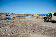
At San Juan de la Costa, public traffic (myself included) is diverted from the
nice road, which is henceforth reserved for use only by the busy mining
facility in town. The public must continue north via a rougher road segregated
from mining traffic. After finding the sign in town for this road, I
immediately encountered a washed out bridge and had to detour around. 
 24.3643, -110.6823
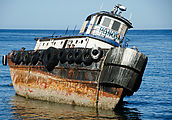
I passed this shipwreck at Punta el Junco 
 24.4085, -110.6929
Las Animas
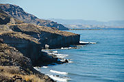
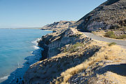
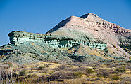
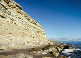
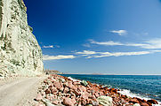
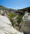
At Las Animas, the landscape gets interesting with dramatically eroding cliffs
of pink and green colored rock. I camped here for the night.

 24.5022, -110.7193
To the beach
Even the pebbles on the beach come in all colors of the rainbow (well, except for blue).
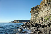
Hiking under the crumbling cliffs at the south end of the beach. 
 24.4967, -110.7134
Flora
I spent the morning driving my way up the coast to San Evaristo, detouring to
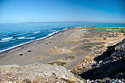
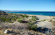
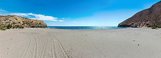
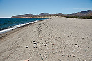
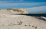
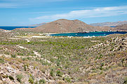
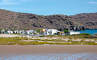
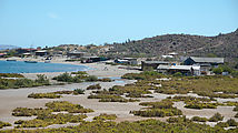
investigate every beach I passed. I found plenty of nice private sandy beaches
in this area. Here's Punta el Cobre 
 24.6061, -110.7394
and Bahía el Coyote 
 24.6776, -110.7252
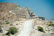
At Cerro Colorado, the mountains press up against the shore, and the road is
squeezed in among the colorful boulders that fall from the cliffs. Then
there is a deviation as the road turns inland to steeply wind up
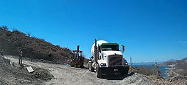
over Mesa Botafuego. I met up with some road construction here — they were laying
down some concrete on the steepest parts of this primarily dirt road. 
 24.7654, -110.6672
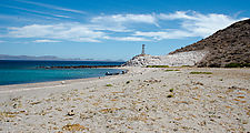
Then I was back down to sea level, checking out more beach access. Here's Ensenada Verde 
 24.7939, -110.6623
Punta el Mechudo 
 24.8082, -110.6619
and Punta la Mojonera. 
 24.8316, -110.6737
San Evaristo
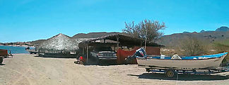
San Evaristo is a cheery little village at the northern end of this coastal road north from La Paz.
Driving into town and right up onto the beach, I was met by shouts
of friendly surprise by a group of guys sitting around a table under an awning.
They did their best to draw me in to hang out with them. I'm not a natural
being the center of attention, but I did stay a while, doing my best to chat in
Spanish. I ended up giving everyone a tour of my camper. I also inquired about the
condition of the road inland from here, and was told it was rough but
definitely passable with my vehicle. 
 24.9091, -110.7099
There is a large salt processing plant just north of town, but I didn't visit that.
Road Inland from San Evaristo
After a lunch break, I drove the inland road, heading west towards San Luis Gonzaga and then on to Highway 1.
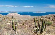
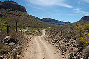
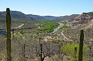
The road is initially steep and eroded as it heads up into the mountains — but should be no problem for a high clearance 4x4. Soon I had a nice view looking back to the coast I'd just left, and the islands beyond.
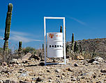
For some reason, elaborate trash cans had been placed every kilometer or so along this road.
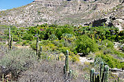
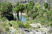
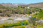
This road through dry rugged mountainous country follows a narrow strip of
canyon bottom green oasis. This lush spot, named El Bosque, appropriately has a
forest of palm trees. 
 24.8392, -110.7745
The greenery continues as the water flows into La Purification. 
 24.8300, -110.7993
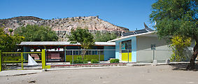
At La Soledad, I came across a village, complete with school. 
 24.8167, -110.8202
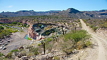
Just west of town is this colorful scene, of water with pink and green rocks.
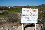
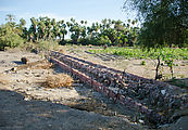
More lushness at Hacienda La Presa / Misíon Dolores. 
 24.8684, -111.0594
San Luis Gonzaga
After finding a quiet spot to camp for the night, I arrived the next morning at
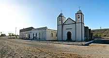
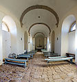
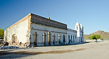
the mission San Luis Gonzaga, built in the 1700s. 
 24.9079, -111.2893
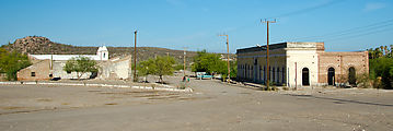
The area is still an active village. I arrived to find a cheery morning scene, with the sounds of birds chittering, families chatting, and a man singing while he worked. The church is accompanied by a few other old buildings, elaborate brick structures which are still beautiful in their decay.

