Malarrimo Beach
I had read many stories about Malarrimo Beach, which is famous for accumulating all manner of washed-up sea junk — from shipwrecks to antique glass bottles. Apparently, northwest-facing beaches tend to trap items floating on the Pacific Ocean currents, and Malarrimo is in the crook of a 70 mile peninsula jutting out of the west coast of Baja. I had also read that a hurricane in the 1970's buried or washed away most of the good junk, including the shipwrecks, but I decided to investigate anyway.
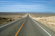
Malarrimo Beach is only 25 miles southwest of Guerrero Negro, but getting there
by car involves a 140 mile circuitous route around the salty mud flats — southeast to Vizcaino on Mexico
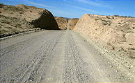
1, then west on the road towards Bahía Tortugas (which loses its pavement after
45 miles, and becomes horribly washboarded), and finally north for 25 miles on
the kind of windy dirt track I love the most. This unmarked track starts behind the farmhouse
at a place my map indicated as San José de Castro. 
 27.5574, -114.4650
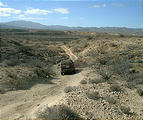
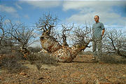
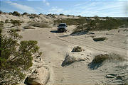
This 25 mile trail descends from a rocky desert plateau into a sandy wash, following the Ceribe (dry) river to its mouth at Malarrimo beach. The desert was still very much alive. The squat elephant tree below was only 3 feet tall, but must have been very old. The ocotillo in January look as dead as a tumbleweed, except for these tiny red buds.
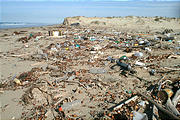
Yes, there certainly was plenty of junk at Malarrimo, but very little of it was exciting. The
vast majority of the items washed up were plastic bottles, but there was plenty
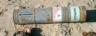
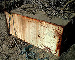
of other trash, including lightsticks, appliances, and this scary
cylindrical military device (a Navair phosphorus marker?). 
 27.8026, -114.4317
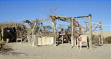
Just inland was a little village of driftwood structures that were perhaps built by other campers. Someone had made the effort to scrawl "Please don't litter" on this dead refrigerator.
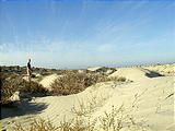
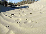
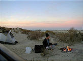
I wandered away from the junk, into the beautiful dunes that line Malarrimo beach, and camped there. Footprints of various sizes indicated that a variety of critters roamed the area, but I didn't encounter any while I was awake.

