Wenatchee Forest North of Ellensburg

Wenatchee National Forest

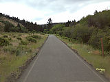
Heading north from Ellensburg and winding up into the hills, I drove up into Wenatchee National Forest on Reecer Creek Road — which, surprisingly, was a single lane paved road! See in Google Maps  See on a USGS topographic map  See in Google Earth   47.1707, -120.5918 

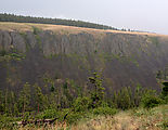
Reecer Creek Road - Single Lane Pavement Reecer Creek Road - Reecer Canyon

Table Mountain

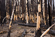
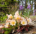
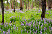
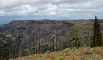
It was fascinating to see, two years later, the landscape transformed by the huge 2012 Table Mountain forest fire. The majority of the trees were dead, but the wildflowers were fantastic! See in Google Maps  See on a USGS topographic map  See in Google Earth   47.2711, -120.5832 

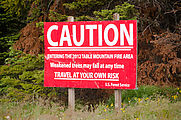
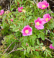
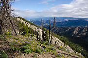
Table Mountain - Sign: "Caution - Trees May Fall" Table Mountain - Burnt Trees Table Mountain - Burnt Trees - Wildflowers Liberty Beehive Road - Wildflowers Burnt Trees and Wildflowers Wild Roses

Lion Rock

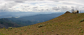
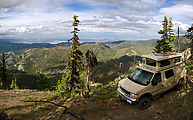
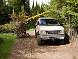
Nice big grassy camping area here, and nearby views. See in Google Maps  See on a USGS topographic map  See in Google Earth   47.2512, -120.5887 

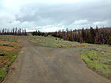
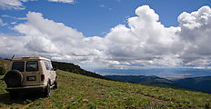
Table Mountain - Riders Cabin - Intersection Table Mountain - Road South of Lion Rock - Wildflowers Table Mountain - Lion Rock Spring Campground - Sportsmobile Table Mountain - Lion Rock Table Mountain - Lion Rock

Haney Meadow

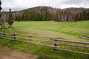
Lush green meadow here. See in Google Maps  See on a USGS topographic map  See in Google Earth   47.3118, -120.5321 

Haney Meadow Haney Meadow - Sign: "Ellensburg", "Wenatchee"

Liberty-Beehive Road

Views into Wenatchee. See in Google Maps  See on a USGS topographic map  See in Google Earth   47.3154, -120.4933 

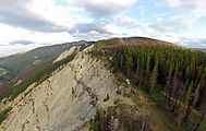
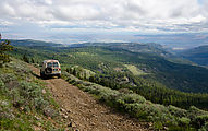
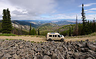
Liberty Beehive Road - Sportsmobile Liberty Beehive Road (aerial photo) Liberty Beehive Road Liberty Beehive Road Liberty Beehive Road - North of Mission Peak - Sportsmobile

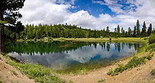
Several little reservioir lakes are in easy walking distance of Beehive Mountain. See in Google Maps  See on a USGS topographic map  See in Google Earth   47.3326, -120.3972 

H H Reservoir

Jumpoff Ridge & Harriets Peak Lookout Tower

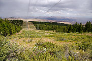
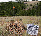
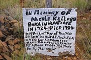
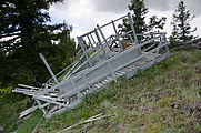
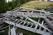
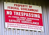
Jumpoff Ridge - Powerlines Jumpoff Ridge - In Memory of Merle Kellogg Jumpoff Ridge - In Memory of Merle Kellogg Jumpoff Ridge - Harriets Peak Lookout Tower Jumpoff Ridge - Harriets Peak Lookout Tower Jumpoff Ridge - Powerline Building Jumpoff Ridge - Powerline Building - No Trespassing Sign

Naneum Ridge

I tried to reach Naneum Point and Wenatchee Mountain, but near the ridge top I was frustrated by snow not yet melted. I finally managed to get to Naneum Point by taking another road on the southwest slope. See in Google Maps  See on a USGS topographic map  See in Google Earth   47.2633, -120.3925 

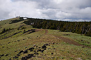
Snow - Naneum Ridge - Naneum Ridge Road - Sportsmobile Naneum Ridge - View Southwest - Sportsmobile Naneum Ridge - Naneum Point - Lookout Tower Site Naneum Ridge - Sportsmobile Naneum Ridge - Fallen Tree - Sportsmobile

Judy's Tamarack Park

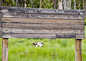
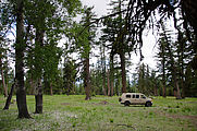
An unusual variety of big old trees here , including tamarack, Douglas fir, alpine fir, aspen, and lodgepole pine. See in Google Maps  See on a USGS topographic map  See in Google Earth   47.2259, -120.3747 

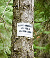
Naneum Ridge - Judy's Tamarack Park - Sign Naneum Ridge - Judy's Tamarack Park - Trees Naneum Ridge - Judy's Tamarack Park - Trees Naneum Ridge - Judy's Tamarack Park - Sportsmobile Naneum Ridge - Sign - A Sportsman Leaves a Clean Camp

Naneum Area

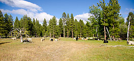
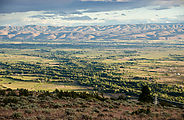
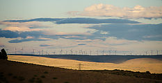
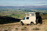
Dawson - Canyon Road - Cows Naneum - View of Ellensburg Naneum - Windmills Naneum - View of Ellensburg Camping - Sportsmobile

Locked In

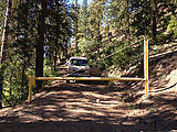
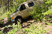
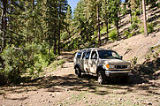
Trying to leave the forest and return to pavement, I somehow found myself locked in — on the wrong side of various gates. At Schnebly Road, I managed to drive around this gate. See in Google Maps  See on a USGS topographic map  See in Google Earth   47.1238, -120.4254 
Schnebly Road - Locked Gate - Sportsmobile Schnebly Road - Locked Gate - Driving Around - Sportsmobile Schnebly Road - Locked Gate - Sportsmobile