North Through Southern California

It was time to start my journey back north towards my home in Seattle. I took the desert Highway 395 much of the way north through Southern California to Nevada. On the way I detoured to explore the mining areas around Randsburg and Johannesburg, CA. See in Google Maps  See on a USGS topographic map  See in Google Earth   35.3513, -117.6737 

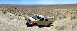
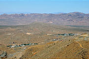
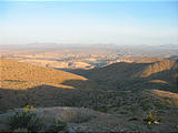
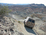
Randsburg Johannesburg Area - Climbing to Sidney Peak - Sportsmobile (June 1, 2006 1:26 PM) Randsburg Johannesburg Area - Government Peak - View of Towns - Randsburg on the left and Johannesburg on the right (June 1, 2006 2:16 PM)

In that same area, I also investigated the dry lakebed of Koehn Lake (Saltdale), and camped in the Last Chance Canyon mining area of the El Paso Mountains. See in Google Maps  See on a USGS topographic map  See in Google Earth   35.3688, -117.9474 

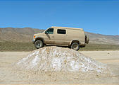
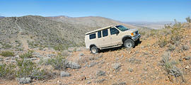
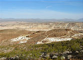
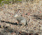
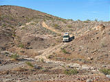
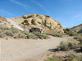
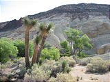
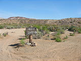
Koehn Lake - Hump - Sportsmobile (June 1, 2006 3:11 PM) Koehn Lake - Saltdale - Sign - Caution Desert Tortoise (June 1, 2006 3:34 PM) Sportsmobile (June 1, 2006 4:17 PM) El Paso Mountains - Camping - View of Red Rock Canyon area (June 2, 2006 6:15 AM) El Paso Mountains - Talc Mines (June 2, 2006 7:40 AM) El Paso Mountains - Jackrabbit (June 2, 2006 8:04 AM) El Paso Mountains - Sportsmobile (June 2, 2006 8:06 AM) Last Chance Canyon - Sportsmobile (June 2, 2006 8:22 AM) El Paso Mountains - Last Chance Canyon (June 2, 2006 8:49 AM) El Paso Mountains - Last Chance Canyon (June 2, 2006 8:53 AM)

Bickel Camp

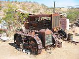
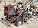
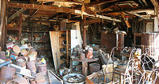
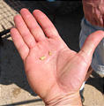
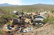
In the El Paso Mountains is Bickel Camp , the well preserved home of an old prospector called Walt Bickel. I met Dave Cook, one of the friendly caretakers who live on site to protect it from vandalism. I also talked with a modern-day gold prospector who told me about using a metal detector, where to look, and showed me some gold nuggets he'd found. See in Google Maps  See on a USGS topographic map  See in Google Earth   35.4351, -117.8883 

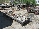
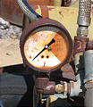
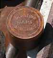
El Paso Mountains - Bickel Camp - Sign (June 2, 2006 9:21 AM) El Paso Mountains - Bickel Camp - Inside Cabin (June 2, 2006 9:42 AM) El Paso Mountains - Bickel Camp - Tractor on Treads (June 2, 2006 9:46 AM) El Paso Mountains - Bickel Camp - Improvised Drilling Machine (June 2, 2006 9:48 AM) El Paso Mountains - Bickel Camp - Rocks (June 2, 2006 9:50 AM) El Paso Mountains - Bickel Camp - Gauge (June 2, 2006 9:53 AM) El Paso Mountains - Bickel Camp - Blasting Caps (June 2, 2006 9:53 AM) El Paso Mountains - Bickel Camp (June 2, 2006 9:56 AM) El Paso Mountains - Bickel Camp - Workshop (June 2, 2006 9:58 AM) El Paso Mountains - Bickel Camp - Metal Detector (June 2, 2006 10:05 AM) El Paso Mountains - Bickel Camp - Gold Nuggets (June 2, 2006 10:12 AM)

Burro-Schmidt Tunnel

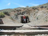
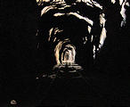
Walt Bickel's neighbor was William Henry "Burro" Schmidt, who spent 38 years obsessively digging a tunnel with hand tools a third of a mile through a mountain. It was refreshing to get out of the heat and walk through the Burro Schmidt Tunnel , thinking about the man who spent his life working inside, inching forward a little bit a day. See in Google Maps  See on a USGS topographic map  See in Google Earth   35.4106, -117.8742 

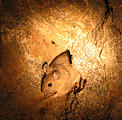
El Paso Mountains - Burro Schmidt Tunnel - Geoff (June 2, 2006 10:50 AM) El Paso Mountains - Burro Schmidt Tunnel (June 2, 2006 10:58 AM) El Paso Mountains - Burro Schmidt Tunnel - Rat (June 2, 2006 11:08 AM) El Paso Mountains - Burro Schmidt Tunnel - Lights off (June 2, 2006 11:16 AM) El Paso Mountains - Burro Schmidt Tunnel - The Other Side (June 2, 2006 11:06 AM)

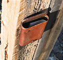
Continuing north through California on 395, I crossed into Nevada on Highway 6, and spent the night camping in the mining country hills east of Hawthorne, NV., where I could look west down over the vast Hawthorne Army Ammunition Depot. I noticed that there was a post driven into the ground nearby with an ancient rusty metal cigarette cases nailed to it. What would be inside, I wondered? Some kind of note? Actually, to my amazement, there was a folded piece of paper inside! A mining claim from 1975 had been waiting for 31 years inside that rusty box. See in Google Maps  See on a USGS topographic map  See in Google Earth   38.5175, -118.4765 
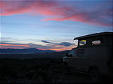
Camping in Garfield Hills mine area - Sunset - Sportsmobile (June 2, 2006 8:26 PM) Camping in Garfield Hills mine area - Mining Claim Papers in Cigarette Box (June 3, 2006 6:51 AM) Camping in Garfield Hills mine area - Mining Claim Papers in Cigarette Box (June 3, 2006 6:52 AM) Camping in Garfield Hills mine area - Mining Claim Papers in Cigarette Box (June 3, 2006 6:54 AM)