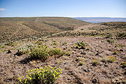
Saddle Mountains

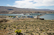
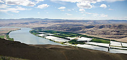
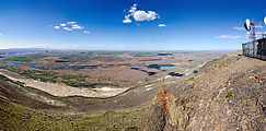
Wanapum Dam Overlook

See in Google Maps  See on a USGS topographic map  See in Google Earth   46.8806, -119.9492 

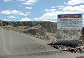
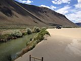
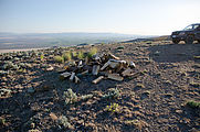
Wanapum Dam Overlook - From Overlook Restricted Sign

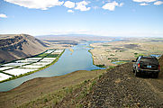
Beverly Sand Dunes

See in Google Maps  See on a USGS topographic map  See in Google Earth   46.8285, -119.8740 

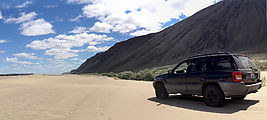
Beverly Sand Dunes - Jeep WJ Beverly Sand Dunes - Lower Crab Creek - Jeep WJ

Saddle Mountains (West)

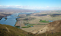
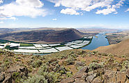
Birkett & Saddle Bluffs view. See in Google Maps  See on a USGS topographic map  See in Google Earth   46.7970, -119.9107 

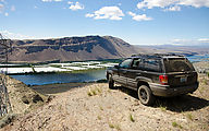
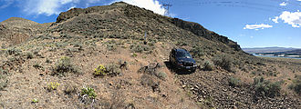
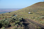
Saddle Mountains (West) - View from Birkett - Saddle Bluffs - Columbia River - Sentinel Gap Saddle Mountains (West) - View from Birkett - Saddle Bluffs - Columbia River - Sentinel Gap Saddle Mountains (West) - Birkett - Jeep WJ

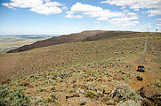
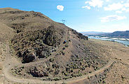
Powerline road. See in Google Maps  See on a USGS topographic map  See in Google Earth   46.8070, -119.9089 

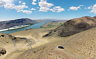
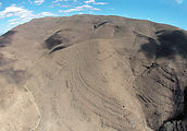
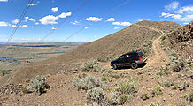
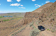
Saddle Mountains (West) - Road R SW - Powerline Road - Columbia River - Sentinel Gap Saddle Mountains (West) - Road R SW - Powerline Road - Columbia River - Sentinel Gap - Jeep WJ Saddle Mountains (West) - Road R SW - Powerline Road - End - Columbia River - Sentinel Gap - Jeep WJ Saddle Mountains (West) - Aerial - Road R SW - Powerline Road - Columbia River - Sentinel Gap - Sand Dunes - Jeep WJ Saddle Mountains (West) - Aerial - Road R SW - Powerline Road

Driving northwest road See in Google Maps  See on a USGS topographic map  See in Google Earth   46.8135, -119.9060  down to Columbia River & sand dunes See in Google Maps  See on a USGS topographic map  See in Google Earth   46.8126, -119.9143 .

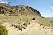
Saddle Mountains (West) - NW Road Down - Jeep WJ Saddle Mountains (West) - NW Road Down - National Wildlife Refuge Sign - Jeep WJ Saddle Mountains (West) - National Wildlife Refuge Sign Saddle Mountains (West) - Sand Dunes - Jeep WJ Saddle Mountains (West) - NW Road Up - Jeep WJ Saddle Mountains (West) - Aerial - NW Road Up Saddle Mountains (West) - Aerial - NW Road Up - Jeep WJ Saddle Mountains (West) - Aerial - NW Road Up - Jeep WJ

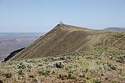
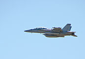
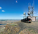
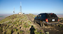
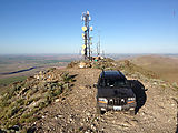
Sentinel Mountain - radio tower facility. I was buzzed by a pair of F-18 fighter jets from McChord. See in Google Maps  See on a USGS topographic map  See in Google Earth   46.8170, -119.8763 

Saddle Mountains (West) - Sentinel Mountain - Radio Facility Saddle Mountains (West) - Sentinel Mountain - F-18 - from McChord Saddle Mountains (West) - Sentinel Mountain - Radio Facility - Looking North - Beverly Sand Dunes Saddle Mountains (West) - Sentinel Mountain - Radio Facility - Jeep WJ

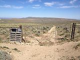
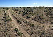
East end of this BLM area - gates and fences. See in Google Maps  See on a USGS topographic map  See in Google Earth   46.8162, -119.8547 

Saddle Mountains (West) - Ridge Road - Locked Gate Saddle Mountains (West) - Wire Fence over Road Saddle Mountains (West) - Inside Fenced Area - Flowers

Saddle Mountains (East)

An abandoned Nike Missile Site See in Google Maps  See on a USGS topographic map  See in Google Earth   46.7918, -119.4461 

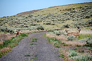
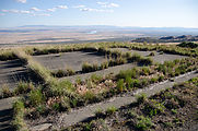
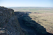
Saddle Mountains (East) - Nike Missile Site - Deer Saddle Mountains (East) - Nike Missile Site - Foundation Saddle Mountains (East) - Nike Missile Site - Cliff Saddle Mountains (East) - Nike Missile Site - Trash Dumped over Cliff Saddle Mountains (East) - Nike Missile Site

Driving west to radio towers. Photos looking south to Columbia River and Hanford.

Saddle Mountains (East) - Wahatis Peak - View Looking South - Colombia River - Hanford Saddle Mountains (East) - Wahatis Peak - View Looking South - Colombia River - Hanford Saddle Mountains (East) - Wahatis Peak - View Looking North

Wahatis Peak - radio towers See in Google Maps  See on a USGS topographic map  See in Google Earth   46.8065, -119.5583 

Saddle Mountains (East) - Wahatis Peak - Radio Towers - Jeep WJ Saddle Mountains (East) - Wahatis Peak - Radio Towers - Jeep WJ Saddle Mountains (East) - Wahatis Peak - Road - View East Saddle Mountains (East) - Wahatis Ridge Road - Jeep WJ Saddle Mountains (East) - Wahatis Ridge Road - Jeep WJ Saddle Mountains (East) - Campers - Wahatis Ridge Road

Driving down, first attempt - road blocked at private land. Because I'm foolish I decided to drive my SUV through the blockage, and managed to get high-centered stuck. No worries, I had my trusty shovel with me. But when I first inserted my shovel under the car, I heard a distinctive rattling sound and sure enough out popped a surprised rattlesnake! It quickly slithered away into the bushes. I was plenty shaken, and took several minutes to calm myself down - before carefully poking around for more reptile friends with a long stick. See in Google Maps  See on a USGS topographic map  See in Google Earth   46.8112, -119.5210 

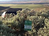
Saddle Mountains (East) - Road Down - Road Blocked - Feel Free to Hunt - Sign - Jeep WJ Saddle Mountains (East) - Road Down - Road Blocked

Driving down to Corfu. I encountered a sign indicating I had just exited a National Wildlife Refuge (no access), but I never saw any sign indicating I had entered the area. See in Google Maps  See on a USGS topographic map  See in Google Earth   46.8107, -119.4543 
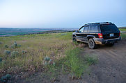
Saddle Mountains (East) - Jeep WJ Saddle Mountains (East) - Corfu Road - National Wildlife Refuge Sign - Jeep WJ

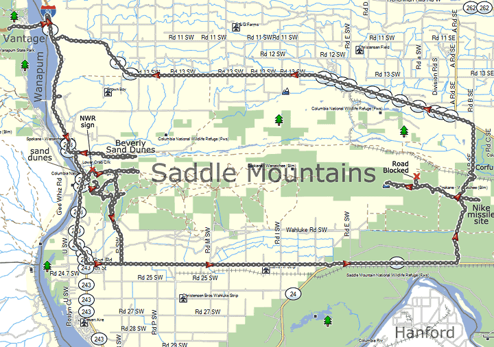
Map